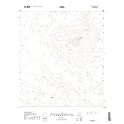
2019 Map of Santiago Peak
USGS Topo · Published 2019About this map
Santiago Peak rises as the central landmark of this West Texas terrain, surrounded by the high ridges of the Santiago Mountains. This 2019 survey documents the complex topography of Brewster County, where ephemeral watercourses like Calamity Cr and the winding Chalk Draw define the movement of water through the arid landscape. The map shows a clear division between these elevated ranges and the more weathered Chalk Mountains to the south.
Find a feature on this map
5 named features on this map. Tap any name to fly to it.
Don’t see what you’re looking for? This feature index may not catch every label — zoom into the map to look around manually.
Map Details
Editions of this 2019 Santiago Peak Map
This is the sole edition of this map. No revisions or reprints were ever made.
Other maps of this area

1917 · Agua Fria
USGS Topo · 1:62,500

1917 · Santiago Peak
USGS Topo · 1:62,500

1917 · Buck Hill
USGS Topo · 1:62,500

1918 · Bone Spring
USGS Topo · 1:125,000

1918 · Buck Hill
USGS Topo · 1:62,500

1918 · Santiago Peak
USGS Topo · 1:62,500

1918 · Nine Point Mesa
USGS Topo · 1:62,500

1925 · Buck Hill
USGS Topo · 1:62,500

1937 · Nine Point Mesa
USGS Topo · 1:62,500

1937 · Agua Fria
USGS Topo · 1:62,500