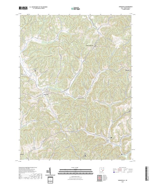
2023 Map of Sarahsville
USGS Topo · Published 2023About this map
Sarahsville serves as a central hub in this corner of Noble County, where the topography is defined by the branching drainages of North Fork Buffalo Creek and South Fork Buffalo Creek. The landscape is a network of ridges and runs, with notable elevations like High Hill and Beatty Knob overlooking small rural communities. For genealogists, the map is particularly rich in cemetery locations, including Old Mount Ephraim Cem near Mount Ephraim and Allens Chapel Cem to the east. The settlement pattern follows the narrow valley floors and winding ridge roads, connecting outlying locales like Whigville, Fredericksdale, and Duvall. This survey preserves the contemporary rural infrastructure of the region, from the winding paths of Seneca Lake Rd to the quiet reaches of Wolfpen Run.
Find a feature on this map
93 named features on this map. Tap any name to fly to it.
Don’t see what you’re looking for? This feature index may not catch every label — zoom into the map to look around manually.
Map Details
Editions of this 2023 Sarahsville Map
This is the sole edition of this map. No revisions or reprints were ever made.
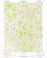
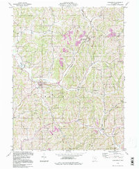
Historical Maps of Mount Ephraim Through Time
3 maps found