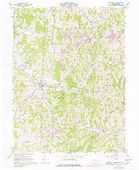
1961 Map of Sarahsville
USGS Topo · Published 1977About this map
Sarahsville and its surrounding villages in Noble County are documented here during a period of transition, showing the intersection of traditional agriculture and expanding extractive industries. The landscape is defined by the high divides of Groves Ridge and Aiken Ridge, which separate the headwaters of Buffalo Creek and Duck Creek. Local centers such as Mt Ephraim, Whigville, and Fredericksdale serve as anchors for rural life, marked by historic congregations at Pleasant Hill Ch and Allens Chapel.
Find a feature on this map
41 named features on this map. Tap any name to fly to it.
Don’t see what you’re looking for? This feature index may not catch every label — zoom into the map to look around manually.
Map Details
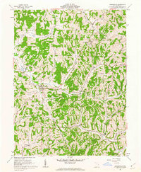
Editions of this 1961 Sarahsville Map
2 editions found
Other maps of this area

1903 · Macksburg
USGS Topo · 1:62,500

1905 · Macksburg
USGS Topo · 1:62,500

1909 · Caldwell
USGS Topo · 1:62,500

1909 · Summerfield
USGS Topo · 1:62,500

1911 · Cumberland
USGS Topo · 1:62,500

1911 · Summerfield
USGS Topo · 1:62,500

1912 · Caldwell
USGS Topo · 1:62,500

1949 · Clarksburg
USGS Topo · 1:250,000

1956 · Clarksburg
USGS Topo · 1:250,000

1961 · Clarksburg
USGS Topo · 1:250,000