1994 Map of Saratoga Springs
USGS Topo · Published 1994About this map
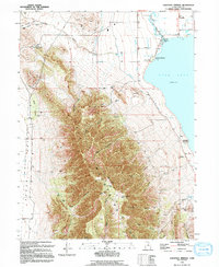
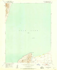
The Lake Mountains dominate the western half of this landscape, separating the shoreline of Utah Lake from the Cedar Valley. This 1994 map captures the area during a period of transition, where the historical legacy of the Dugout Pony Express Station (Site) and an Old Railroad Grade sits alongside modern water management infrastructure like the Inlet Pumping Sta and the Provo River Distributing Canal. The northern edge of the lake features the Hot Springs and a Picnic Area Campground at Saratoga Springs, highlighting the region's long-standing role as a recreational destination. Numerous Prospects and Open Pit Mines are scattered throughout the canyons, such as Limekiln Canyon and Israel Canyon, reflecting the area's geological and extractive history before extensive suburban development moved in.
Find a feature on this map
44 named features on this map. Tap any name to fly to it.
Don’t see what you’re looking for? This feature index may not catch every label — zoom into the map to look around manually.
Map Details
Editions of this 1994 Saratoga Springs Map
This is the sole edition of this map. No revisions or reprints were ever made.
Other maps of this area

1885 · Salt Lake
USGS Topo · 1:250,000

1885 · Tooele Valley
USGS Topo · 1:250,000

1915 · Fairfield
USGS Topo · 1:62,500

1917 · Fairfield
USGS Topo · 1:62,500

1947 · Fivemile Pass
USGS Topo · 1:62,500
1947 · Goshen Pass
USGS Topo · 1:24,000

1949 · Goshen Pass
USGS Topo · 1:24,000
1950 · Soldiers Pass
USGS Topo · 1:24,000
1950 · Pelican Point
USGS Topo · 1:24,000
1950 · Lincoln Point
USGS Topo · 1:24,000