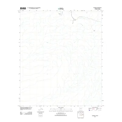
2011 Map of Sasabe
USGS Topo · Published 2011About this map
Sasabe sits at the northern edge of this arid landscape, serving as a primary point of reference in a region defined by scattered ranching operations and seasonal watercourses. The local geography is anchored by the La Osa Wash, which drainage network carves through the terrain towards the international boundary. Historical land use is evident in the presence of Rancho de la Osa and the nearby Garcia Ranch, reflecting the enduring cattle ranching heritage of the borderlands. Infrastructure is limited to a few arterial routes such as La Osa Rd and W Antelope Dr, while vital water resources are marked by features like the La Osa Tank. This map documents a sparsely populated but strategically significant corridor where the high desert environment dictates the placement of settlements and roads.
Find a feature on this map
7 named features on this map. Tap any name to fly to it.
Don’t see what you’re looking for? This feature index may not catch every label — zoom into the map to look around manually.
Map Details
Editions of this 2011 Sasabe Map
This is the sole edition of this map. No revisions or reprints were ever made.
Other maps of this area

1920 · Arivaca
USGS Topo · 1:125,000

1921 · Old Glory
USGS Topo · 1:125,000

1941 · Presumido Peak
USGS Topo · 1:62,500

1941 · Arivaca
USGS Topo · 1:62,500

1942 · Oro Blanco
USGS Topo · 1:62,500

1943 · Fresnal
USGS Topo · 1:125,000

1943 · Arivaca
USGS Topo · 1:62,500

1943 · Old Glory
USGS Topo · 1:125,000

1943 · Presumido Peak
USGS Topo · 1:62,500

1944 · Oro Blanco
USGS Topo · 1:62,500