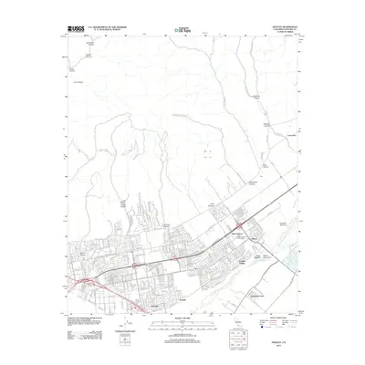
2012 Map of Saticoy
USGS Topo · Published 2012About this map
West Saticoy and the surrounding agricultural corridors along the Santa Clara River define the transition from the Oxnard Plain into the rugged coastal canyons of Ventura County. In the southern half of the map, the landscape is heavily shaped by residential and industrial clusters such as Montalvo, Cabrillo Village, and Kimball, while the northern section is dominated by topographical features like Wheeler Canyon and Sulphur Canyon. The proximity of the Saticoy Regional Golf Course to the river's edge illustrates the utilization of the floodplain for recreation and open space. For those tracing local history, the map provides precise positioning for the Ivy Lawn Cem and the settlement at Limoneira, as well as several distinctive drainage features known as barrancas, including Ellsworth Barranca and Wason Barranca, which are characteristic of this region's geomorphology.
Find a feature on this map
186 named features on this map. Tap any name to fly to it.
Don’t see what you’re looking for? This feature index may not catch every label — zoom into the map to look around manually.
Map Details
Editions of this 2012 Saticoy Map
This is the sole edition of this map. No revisions or reprints were ever made.
Other maps of this area

1903 · Santa Paula
USGS Topo · 1:62,500

1904 · Ventura
USGS Topo · 1:62,500

1904 · Hueneme
USGS Topo · 1:62,500

1941 · Ventura
USGS Topo · 1:62,500

1942 · Santa Paula
USGS Topo · 1:62,500

1942 · Hueneme
USGS Topo · 1:62,500

1943 · Hueneme
USGS Topo · 1:62,500

1947 · Santa Paula
USGS Topo · 1:62,500

1949 · Los Angeles
USGS Topo · 1:250,000

1949 · Oxnard
USGS Topo · 1:24,000