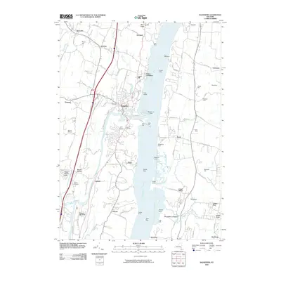
2010 Map of Saugerties
USGS Topo · Published 2010About this map
Saugerties sits at the prominent confluence of Esopus Creek and the Hudson River, serving as a central hub for this portion of the Hudson Valley. This 2010 topographic survey documents a landscape defined by riverside settlements and historical land divisions. On the eastern shore, the village of Tivoli and the campus vicinity of Annandale-on-Hudson reflect a long-standing pattern of river-oriented development. The western bank shows the intricate path of the Sawyer Kill and the industrial heritage suggested by the Glenerie Falls and the nearby Glenerie Lake Park.
Find a feature on this map
97 named features on this map. Tap any name to fly to it.
Don’t see what you’re looking for? This feature index may not catch every label — zoom into the map to look around manually.
Map Details
Editions of this 2010 Saugerties Map
This is the sole edition of this map. No revisions or reprints were ever made.
Other maps of this area

1892 · Kaaterskill
USGS Topo · 1:62,500

1893 · Kaaterskill
USGS Topo · 1:62,500

1894 · Kaaterskill
USGS Topo · 1:62,500

1895 · Catskill
USGS Topo · 1:62,500

1898 · Rhinebeck
USGS Topo · 1:62,500

1899 · Kaaterskill
USGS Topo · 1:62,500

1901 · Rosendale
USGS Topo · 1:62,500

1903 · Rosendale
USGS Topo · 1:62,500

1903 · Kaaterskill
USGS Topo · 1:62,500

1934 · Rhinebeck
USGS Topo · 1:48,000