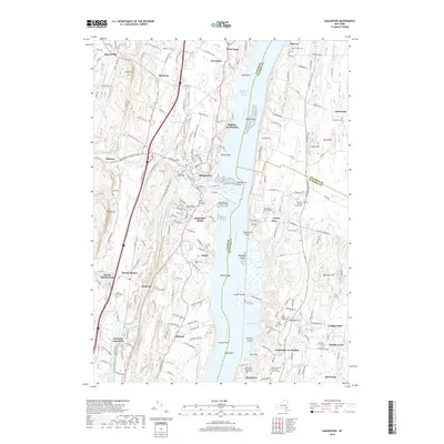
2019 Map of Saugerties
USGS Topo · Published 2019About this map
Saugerties serves as the focal point of this river-and-creek landscape where Esopus Creek flows into the Hudson River. The settlement pattern reflects a deep history of riverfront industry and academic development, anchored by institutions like Bard College in Annandale-on-Hudson and the Unification Theological Seminary near Barrytown. The topographic detail highlights the transition from the riverbanks to higher ground, marked by landmarks such as Mt Marion and Beckwith Hill. Numerous historical churchyards and cemeteries, including Saint Mary of the Snow Cemetery and the Old Red Madalin Church Cemetery, are distributed across the terrain, offering significant value for genealogists tracing family ties in Ulster County, Columbia County, and Dutchess County. To the north, the small hamlets of Katsbaan and Malden-on-Hudson line the transportation corridors, while Clermont State Park preserves the open landscape along the Malden on Hudson Reach.
Find a feature on this map
165 named features on this map. Tap any name to fly to it.
Don’t see what you’re looking for? This feature index may not catch every label — zoom into the map to look around manually.
Map Details
Editions of this 2019 Saugerties Map
This is the sole edition of this map. No revisions or reprints were ever made.
Other maps of this area

1892 · Kaaterskill
USGS Topo · 1:62,500

1893 · Kaaterskill
USGS Topo · 1:62,500

1894 · Kaaterskill
USGS Topo · 1:62,500

1895 · Catskill
USGS Topo · 1:62,500

1898 · Rhinebeck
USGS Topo · 1:62,500

1899 · Kaaterskill
USGS Topo · 1:62,500

1901 · Rosendale
USGS Topo · 1:62,500

1903 · Rosendale
USGS Topo · 1:62,500

1903 · Kaaterskill
USGS Topo · 1:62,500

1934 · Rhinebeck
USGS Topo · 1:48,000