
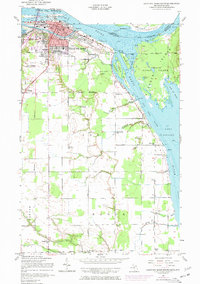
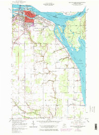
1951 Map of Sault Ste. Marie South
USGS Topo · Published 1958About this map
Sault Ste Marie serves as the focal point of this mid-century survey, illustrating the critical maritime infrastructure where the North Canal and South Canal bypass the St Marys Falls. The map details the complex operations of the Soo Locks and the strategic positioning of U S Military Res Camp Lucas along the international border. Across the Saint Marys River, the international boundary winds between Island No 1 and the Canadian shore, while the eastern portion of the map is dominated by the rural landscape of Sugar Island.
Find a feature on this map
54 named features on this map. Tap any name to fly to it.
Don’t see what you’re looking for? This feature index may not catch every label — zoom into the map to look around manually.
Map Details
Editions of this 1951 Sault Ste. Marie South Map
3 editions found
Other maps of this area

1913 · Sault Sainte Marie
USGS Topo · 1:62,500

1919 · Neebish
USGS Topo · 1:62,500

1941 · Neebish
USGS Topo · 1:63,360

1941 · Sault Sainte Marie
USGS Topo · 1:63,360

1951 · Shallows
USGS Topo · 1:24,000

1951 · Dafter
USGS Topo · 1:24,000

1951 · Barbeau
USGS Topo · 1:24,000

1951 · Baie De Wasai
USGS Topo · 1:24,000

1951 · Oak Ridge
USGS Topo · 1:24,000

1951 · Sault Ste. Marie
USGS Topo · 1:62,500