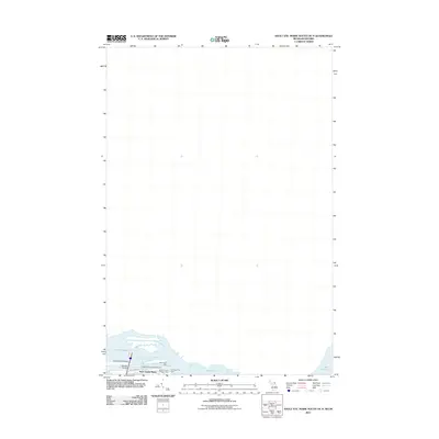
2011 Map of Sault Ste. Marie South OE N
USGS Topo · Published 2011About this map
Sault Sainte Marie occupies the southern edge of this map at the critical convergence where Lake Superior meets Lake Huron. The survey focuses on the intricate maritime infrastructure required to navigate Saint Marys Falls, detailing the specialized features of the waterfront. Landmarks such as the Corps of Engineers Warehouse and the North East Pier indicate the heavy industrial and logistical footprint of the canal system.
Find a feature on this map
11 named features on this map. Tap any name to fly to it.
Don’t see what you’re looking for? This feature index may not catch every label — zoom into the map to look around manually.
Map Details
Editions of this 2011 Sault Ste. Marie South OE N Map
This is the sole edition of this map. No revisions or reprints were ever made.
Other maps of this area

1913 · Sault Sainte Marie
USGS Topo · 1:62,500

1919 · Neebish
USGS Topo · 1:62,500

1941 · Neebish
USGS Topo · 1:63,360

1941 · Sault Sainte Marie
USGS Topo · 1:63,360

1951 · Shallows
USGS Topo · 1:24,000

1951 · Baie De Wasai
USGS Topo · 1:24,000

1951 · Sault Ste. Marie
USGS Topo · 1:62,500

1951 · Sault Ste. Marie South
USGS Topo · 1:24,000

1951 · Payment
USGS Topo · 1:24,000

1951 · Lake George
USGS Topo · 1:62,500