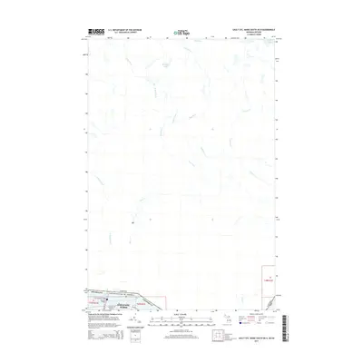
2014 Map of Sault Ste. Marie South OE N
USGS Topo · Published 2014About this map
Sault Ste. Marie sits at the southern edge of this international borderlands survey, where the Saint Marys Falls and the International Bridge mark the crossing between Michigan and Canada. The urban layout near the water is defined by W Portage Ave and Ridge St, while a Bascule Bridge facilitates movement across the industrial waterways. Beyond the riverfront, the landscape transitions into a vast network of northern drainage systems. The Root River and its western branch, the W Root River, dominate the central drainage, winding through a territory dotted with water bodies like McIntyre Lake and Moss Lake. The map illustrates the convergence of small tributaries such as Crystal Cr and Coldwater Cr, providing a detailed look at the hydrology of the Algoma District region north of the locks.
Find a feature on this map
25 named features on this map. Tap any name to fly to it.
Don’t see what you’re looking for? This feature index may not catch every label — zoom into the map to look around manually.
Map Details
Editions of this 2014 Sault Ste. Marie South OE N Map
This is the sole edition of this map. No revisions or reprints were ever made.
Other maps of this area

1913 · Sault Sainte Marie
USGS Topo · 1:62,500

1919 · Neebish
USGS Topo · 1:62,500

1941 · Neebish
USGS Topo · 1:63,360

1941 · Sault Sainte Marie
USGS Topo · 1:63,360

1951 · Shallows
USGS Topo · 1:24,000

1951 · Baie De Wasai
USGS Topo · 1:24,000

1951 · Sault Ste. Marie
USGS Topo · 1:62,500

1951 · Sault Ste. Marie South
USGS Topo · 1:24,000

1951 · Payment
USGS Topo · 1:24,000

1951 · Lake George
USGS Topo · 1:62,500