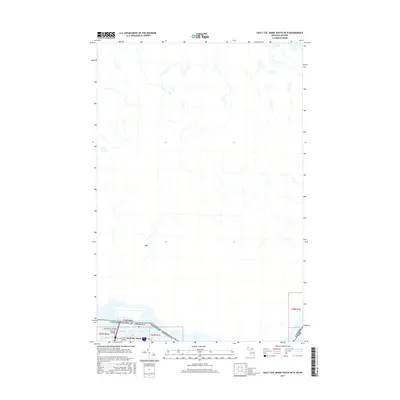
2017 Map of Sault Ste. Marie South OE N
USGS Topo · Published 2017About this map
The northern edge of the Michigan-Ontario border defines this 2017 survey, focusing on the aquatic corridor where the Great Lakes system transitions through the Saint Marys Falls. This map highlights a critical junction of international commerce and engineering, dominated by the International Bridge which spans the waterway to connect the United States and Canada. The landscape is primarily defined by the intricate hydrography of the St. Marys River, showing the various channels and small islands that characterize this border region. While largely focused on the waterway, the map provides a clear look at the infrastructure required to manage the flow of water and transportation between the two nations during the early 21st century.
Find a feature on this map
2 named features on this map. Tap any name to fly to it.
Don’t see what you’re looking for? This feature index may not catch every label — zoom into the map to look around manually.
Map Details
Editions of this 2017 Sault Ste. Marie South OE N Map
This is the sole edition of this map. No revisions or reprints were ever made.
Other maps of this area

1913 · Sault Sainte Marie
USGS Topo · 1:62,500

1919 · Neebish
USGS Topo · 1:62,500

1941 · Neebish
USGS Topo · 1:63,360

1941 · Sault Sainte Marie
USGS Topo · 1:63,360

1951 · Shallows
USGS Topo · 1:24,000

1951 · Baie De Wasai
USGS Topo · 1:24,000

1951 · Sault Ste. Marie
USGS Topo · 1:62,500

1951 · Sault Ste. Marie South
USGS Topo · 1:24,000

1951 · Payment
USGS Topo · 1:24,000

1951 · Lake George
USGS Topo · 1:62,500