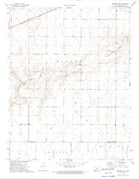
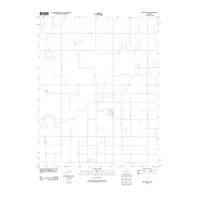
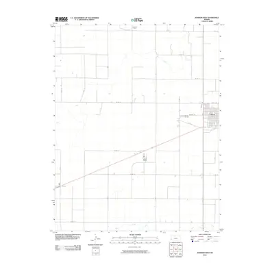
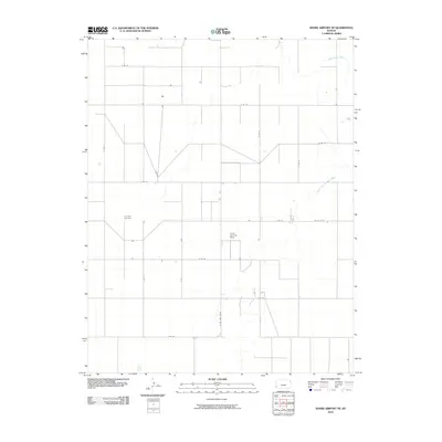
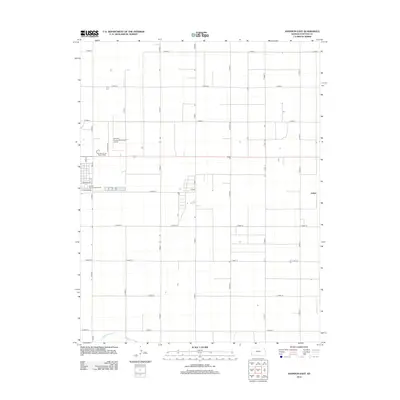
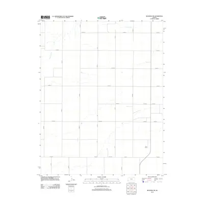
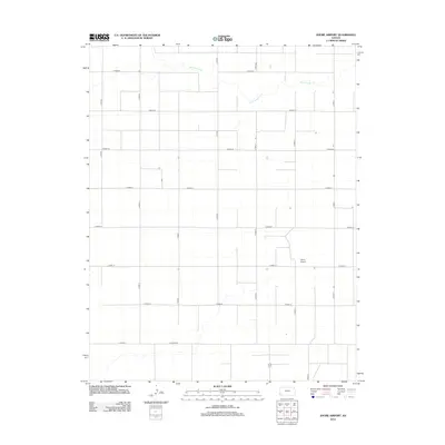
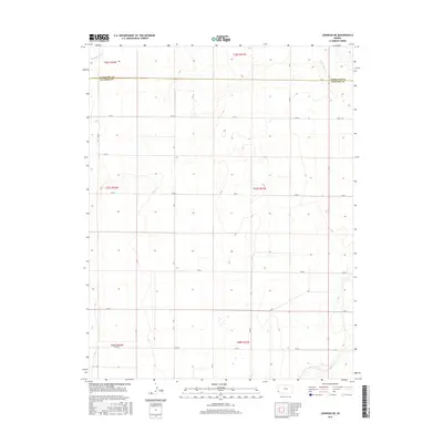
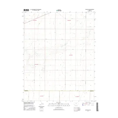
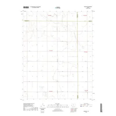
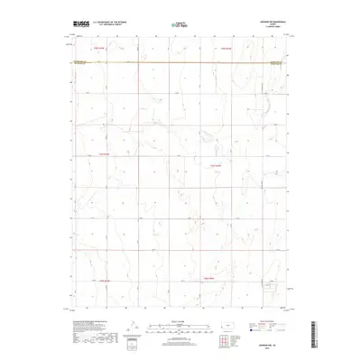
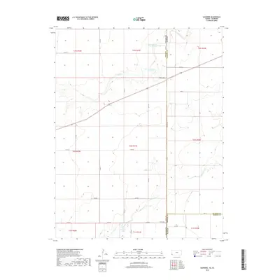
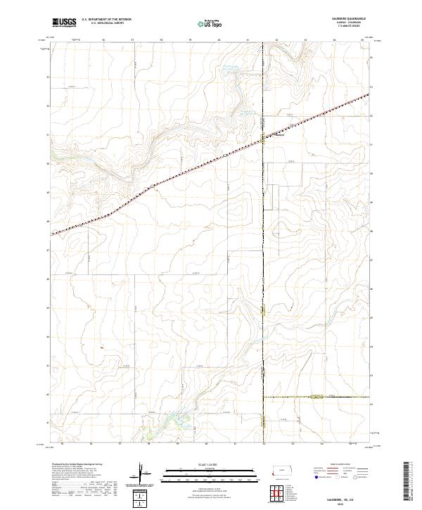
1979 Map of Saunders
USGS Topo · Published 1979About this map
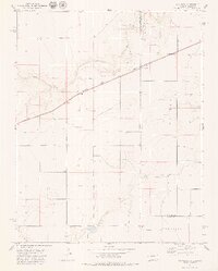
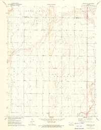
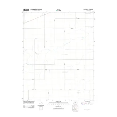
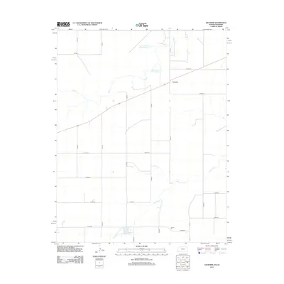
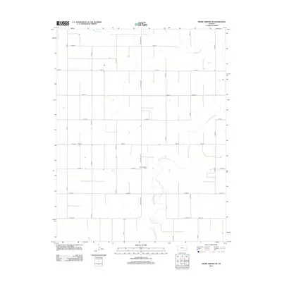
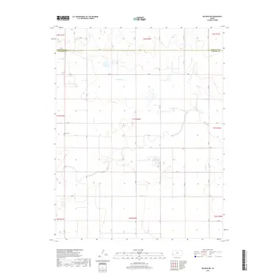
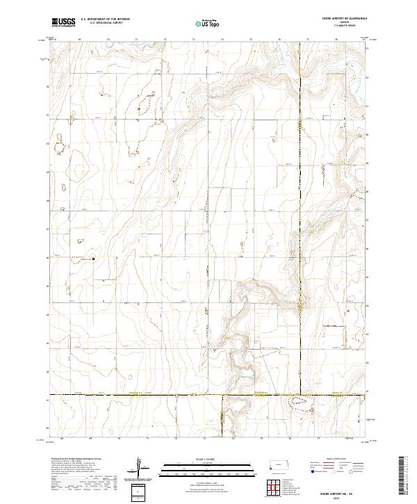
The high plains borderland between Colorado and Kansas is defined here by the intersection of rail infrastructure and intermittent watercourses during the late 1970s. The Atchison Topeka and Santa Fe railroad cuts a diagonal line across the landscape, serving small trackside points like Saunders and Gano. This region, where Baca and Stanton counties meet, is characterized by a sparse settlement pattern that relies heavily on groundwater, indicated by the numerous wells scattered across the terrain.
Find a feature on this map
13 named features on this map. Tap any name to fly to it.
Don’t see what you’re looking for? This feature index may not catch every label — zoom into the map to look around manually.
Map Details
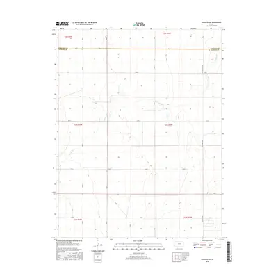
Editions of this 1979 Saunders Map
This is the sole edition of this map. No revisions or reprints were ever made.
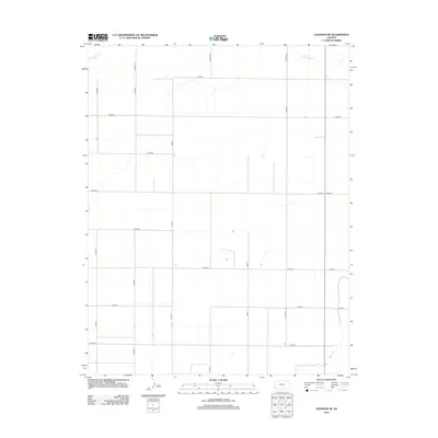
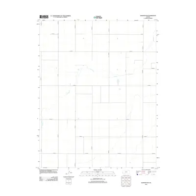
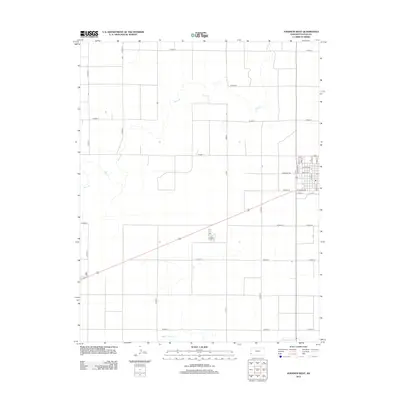
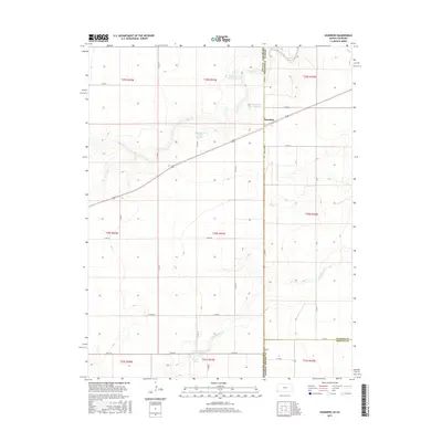
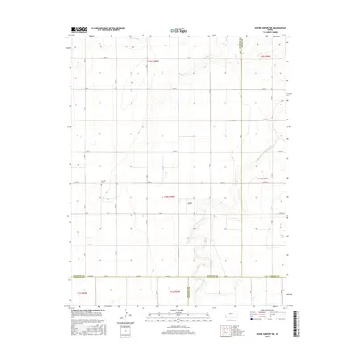
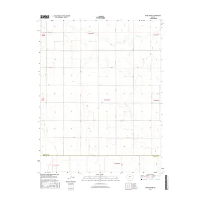
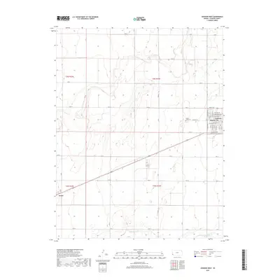
Historical Maps of Saunders Through Time
66 maps found
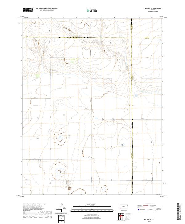
1959 Big Bow NE
Stanton County, KS
1959 Big Bow NW
Stanton County, KS
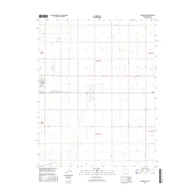
1959 Johnson East
Stanton County, KS
1973 Johnson NE
Stanton County, KS
1973 Johnson NW
Stanton County, KS
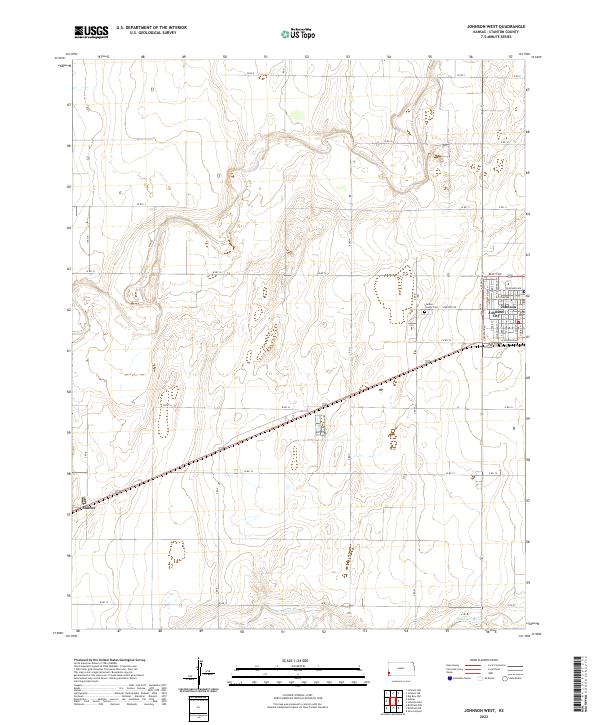
1973 Johnson West
Stanton County, KS
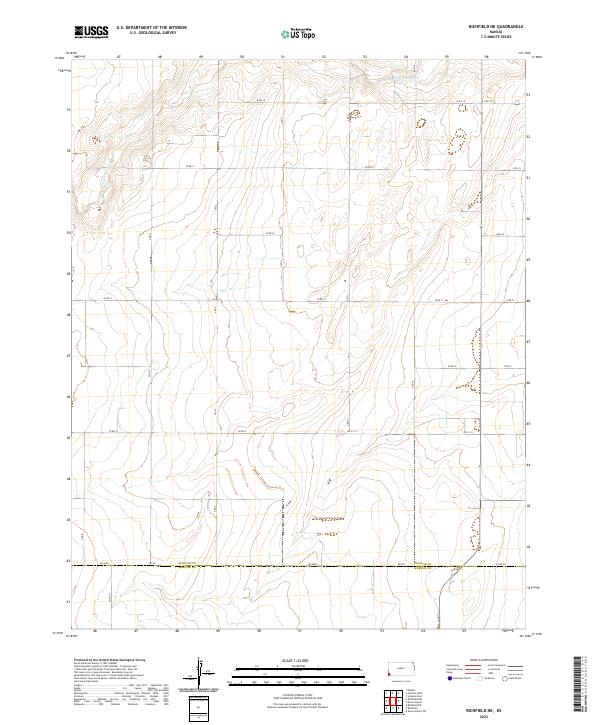
1973 Richfield NE
Stanton County, KS
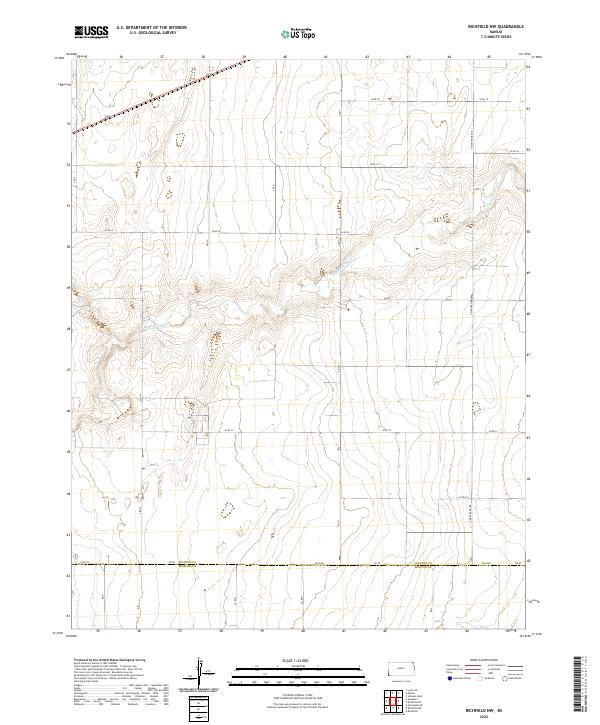
1973 Richfield NW
Stanton County, KS
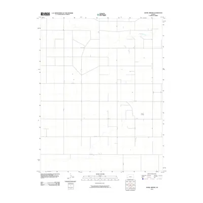
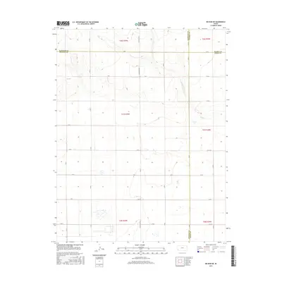
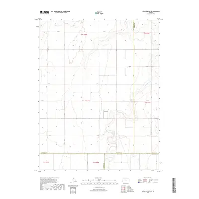
1973 Shore Airport
Stanton County, KS
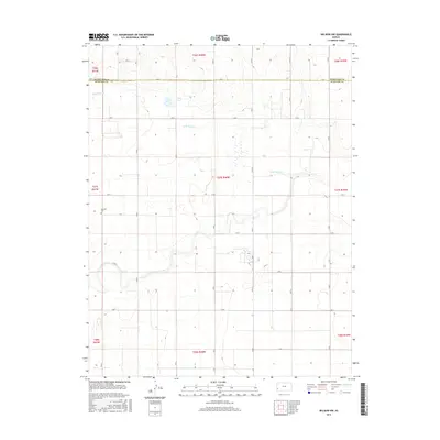
1974 Shore Airport NE
Stanton County, KS
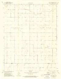
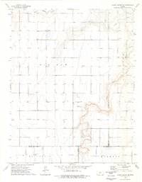
1979 Saunders
Stanton County, KS
2010 Big Bow NE
Stanton County, KS
2010 Big Bow NW
Stanton County, KS
2010 Johnson East
Stanton County, KS
2010 Johnson NE
Stanton County, KS
2010 Johnson NW
Stanton County, KS
2010 Johnson West
Stanton County, KS
2010 Richfield NE
Stanton County, KS
2010 Richfield NW
Stanton County, KS
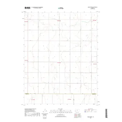
2010 Saunders
Stanton County, KS
2010 Shore Airport NE
Stanton County, KS
2010 Shore Airport
Stanton County, KS
2012 Big Bow NE
Stanton County, KS
2012 Big Bow NW
Stanton County, KS
2012 Johnson East
Stanton County, KS
2012 Johnson NE
Stanton County, KS
2012 Johnson NW
Stanton County, KS
2012 Johnson West
Stanton County, KS
2012 Richfield NE
Stanton County, KS
2012 Richfield NW
Stanton County, KS
2012 Saunders
Stanton County, KS
2012 Shore Airport NE
Stanton County, KS
2012 Shore Airport
Stanton County, KS
2015 Big Bow NE
Stanton County, KS
2015 Big Bow NW
Stanton County, KS
2015 Johnson East
Stanton County, KS
2015 Johnson NE
Stanton County, KS
2015 Johnson NW
Stanton County, KS
2015 Johnson West
Stanton County, KS
2015 Richfield NE
Stanton County, KS
2015 Richfield NW
Stanton County, KS
2015 Saunders
Stanton County, KS
2015 Shore Airport NE
Stanton County, KS
2015 Shore Airport
Stanton County, KS
2018 Big Bow NE
Stanton County, KS
2018 Big Bow NW
Stanton County, KS
2018 Johnson East
Stanton County, KS
2018 Johnson NE
Stanton County, KS
2018 Johnson NW
Stanton County, KS
2018 Johnson West
Stanton County, KS
2018 Richfield NE
Stanton County, KS
2018 Richfield NW
Stanton County, KS
2018 Saunders
Stanton County, KS
2018 Shore Airport NE
Stanton County, KS
2018 Shore Airport
Stanton County, KS
2022 Big Bow NE
Stanton County, KS
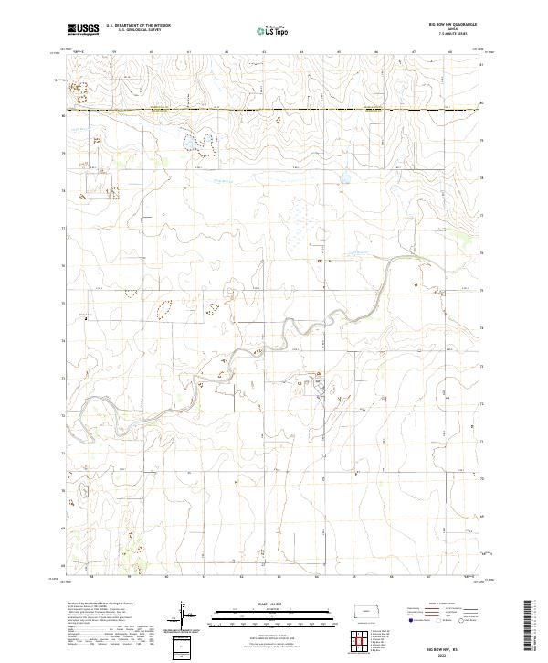
2022 Big Bow NW
Stanton County, KS
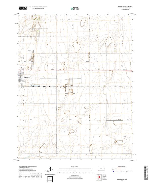
2022 Johnson East
Stanton County, KS
2022 Johnson NE
Stanton County, KS
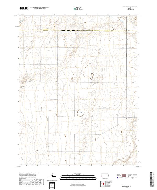
2022 Johnson NW
Stanton County, KS
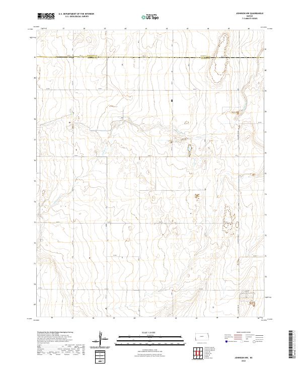
2022 Johnson West
Stanton County, KS
2022 Richfield NE
Stanton County, KS
2022 Richfield NW
Stanton County, KS
2022 Saunders
Stanton County, KS
2022 Shore Airport NE
Stanton County, KS
2022 Shore Airport
Stanton County, KS