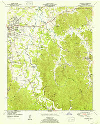
1949 Map of Savannah
USGS Topo · Published 1952About this map
Savannah serves as the focal point of this late-1940s landscape, situated along the eastern bank of the Tennessee River as it feeds into Kentucky Lake. The map reveals a distinct pattern of settlement split between the central hub and surrounding rural communities like Old Town, New Town, and Walkertown. Away from the river, the terrain is defined by a dense network of creek branches and hollows, including Horse Creek and Turkey Creek, where smaller hamlets and rural institutions established themselves.
Find a feature on this map
77 named features on this map. Tap any name to fly to it.
Don’t see what you’re looking for? This feature index may not catch every label — zoom into the map to look around manually.
Map Details
Editions of this 1949 Savannah Map
This is the sole edition of this map. No revisions or reprints were ever made.
Other maps of this area

1936 · Savannah
USGS Topo · 1:24,000

1936 · Wolf Pit Ridge
USGS Topo · 1:24,000

1936 · Hookers Bend
USGS Topo · 1:24,000

1936 · Counce
USGS Topo · 1:24,000

1936 · Olivehill
USGS Topo · 1:24,000

1936 · Milledgeville
USGS Topo · 1:24,000

1936 · Pickwick
USGS Topo · 1:24,000

1936 · Lowryville
USGS Topo · 1:24,000

1936 · Pittsburg Landing
USGS Topo · 1:24,000

1949 · Hookers Bend
USGS Topo · 1:24,000