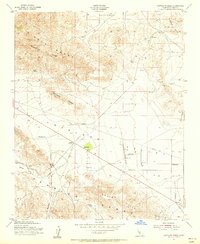
1953 Map of Sawtooth Ridge
USGS Topo · Published 1956About this map
Sunflower Valley and the Antelope Valley converge in this mid-century survey of the California interior, where the Diablo Range meets the Temblor Range. The landscape is defined by the intersection of early oil extraction and ranching life, anchored by Kecks Corner and the E Still Ranch. Industrial activity is evident in the north at the Devils Den Oil Field, while multiple Gypsum Pits dot the eastern slopes. A network of water management features, including several Reservoirs and a prominent Pipeline, underscores the necessity of irrigation in this arid corridor. Terrain landmarks like Sawtooth Ridge, Bluestone Ridge, and Raven Pass provide critical navigational points between the valleys and the Shale Hills.
Find a feature on this map
33 named features on this map. Tap any name to fly to it.
Don’t see what you’re looking for? This feature index may not catch every label — zoom into the map to look around manually.
Map Details
Editions of this 1953 Sawtooth Ridge Map
This is the sole edition of this map. No revisions or reprints were ever made.
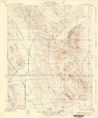
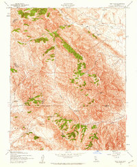
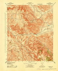
Other maps of this area

1914 · Lost Hills
USGS Topo · 1:125,000

1914 · Cholame
USGS Topo · 1:125,000

1915 · Cholame
USGS Topo · 1:125,000

1917 · Cholame
USGS Topo · 1:125,000

1930 · Avenal Gap
USGS Topo · 1:31,680
1933 · Avenal Gap
USGS Topo · 1:31,680
1942 · Tent Hills
USGS Topo · 1:24,000
1943 · Packwood
USGS Topo · 1:31,680

1943 · Grant Lake
USGS Topo · 1:31,680

1943 · Tent Hills
USGS Topo · 1:31,680