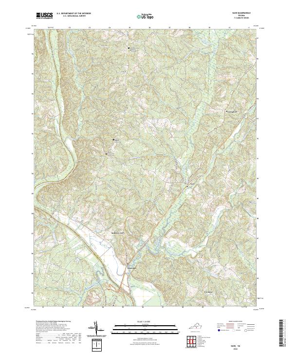
2022 Map of Saxe
USGS Topo · Published 2022About this map
The Roanoke River defines the southwestern boundary of this Virginia landscape, separating Charlotte and Halifax counties near the settlement of Randolph. The area is characterized by a dense network of creek drainages, including Wards Fork Cr and Twittys Cr, which carve through the Piedmont terrain. This 2022 survey documents several established community centers such as Saxe, Mossingford, and Formosa, alongside historical nodes like Mulberry Hill.
Find a feature on this map
69 named features on this map. Tap any name to fly to it.
Don’t see what you’re looking for? This feature index may not catch every label — zoom into the map to look around manually.
Map Details
Editions of this 2022 Saxe Map
This is the sole edition of this map. No revisions or reprints were ever made.
Historical Maps of Randolph Through Time
12 maps found
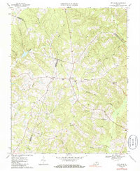
1968 Aspen
Charlotte County, VA
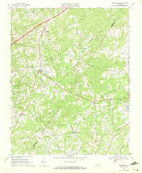
1968 Eureka
Charlotte County, VA
1968 Madisonville
Charlotte County, VA
1968 Red House
Charlotte County, VA
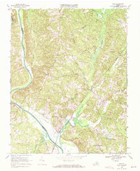
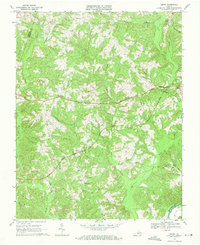
1968 Saxe
Charlotte County, VA
1968 Wylliesburg
Charlotte County, VA
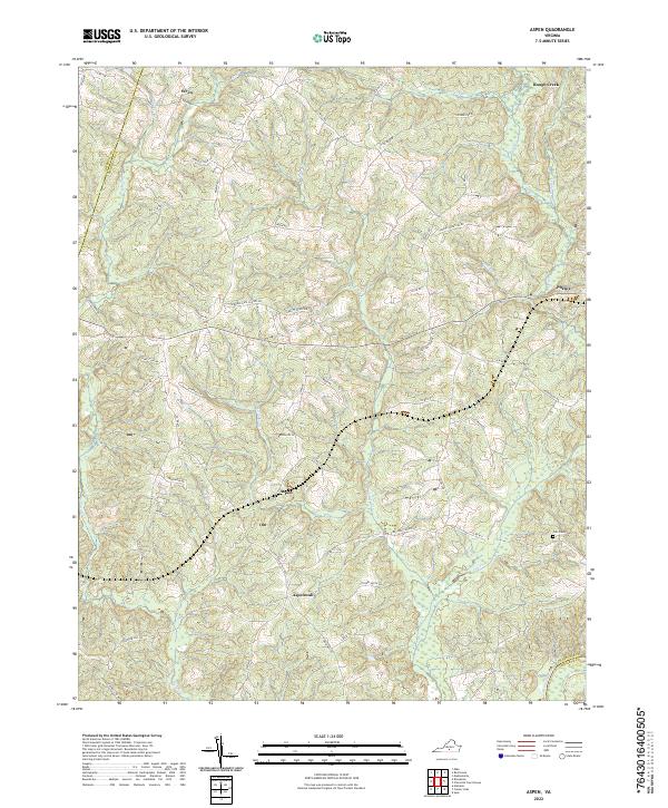
2022 Aspen
Charlotte County, VA
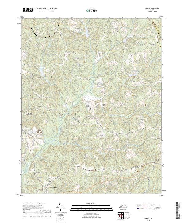
2022 Eureka
Charlotte County, VA
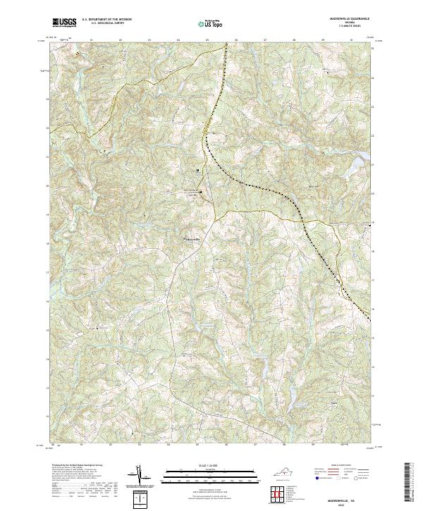
2022 Madisonville
Charlotte County, VA
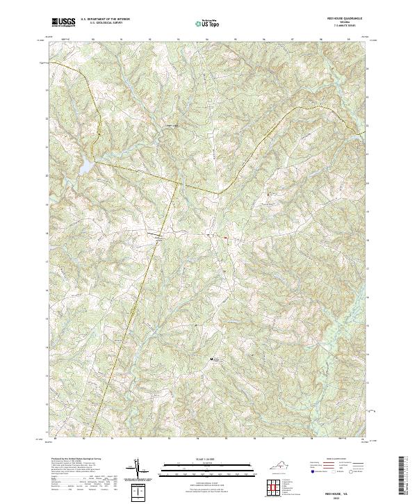
2022 Red House
Charlotte County, VA
2022 Saxe
Charlotte County, VA
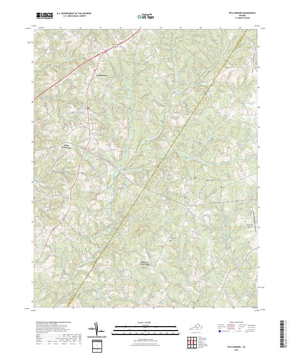
2022 Wylliesburg
Charlotte County, VA