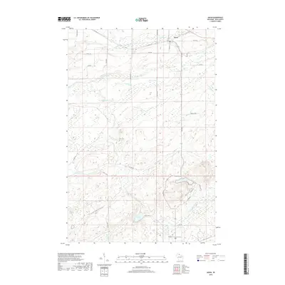
2018 Map of Saxon
USGS Topo · Published 2018About this map
Saxon sits at the northern edge of this Iron County landscape, where the local road network—including Old Hwy 10 and Church St—serves a rural community defined by its proximity to the Lake Superior watershed. The terrain is a complex of wetlands and waterways, featuring the prominent Blueberry Marsh and the winding course of the Potato River. These hydrographic features, alongside smaller streams like Vaughn Cr and Lawrence Creek, illustrate the drainage patterns typical of northern Wisconsin's timber and recreation lands.
Find a feature on this map
47 named features on this map. Tap any name to fly to it.
Don’t see what you’re looking for? This feature index may not catch every label — zoom into the map to look around manually.
Map Details
Editions of this 2018 Saxon Map
This is the sole edition of this map. No revisions or reprints were ever made.
Other maps of this area

1940 · Upson
USGS Topo · 1:48,000

1942 · Mellen
USGS Topo · 1:48,000

1943 · Little Girls Point
USGS Topo · 1:24,000

1943 · Upson
USGS Topo · 1:48,000

1943 · Little Girl Point
USGS Topo · 1:48,000

1943 · Odanah
USGS Topo · 1:48,000

1945 · Odanah
USGS Topo · 1:48,000

1945 · Mellen
USGS Topo · 1:48,000

1953 · Ashland
USGS Topo · 1:250,000
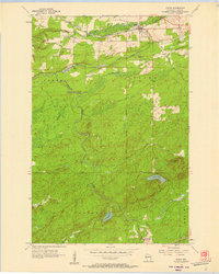
1956 · Saxon
USGS Topo · 1:24,000