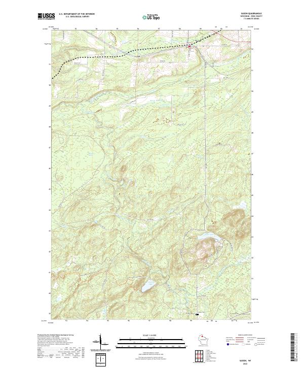
2022 Map of Saxon
USGS Topo · Published 2022About this map
Saxon serves as the primary hub in this northern Wisconsin survey, situated near the northern edge of the Gogebic Range. The terrain is defined by a dense network of waterways, including the winding Potato River and several tributaries like Vaughn Cr and Lawrence Cr. Large wetland areas such as Blueberry Marsh characterize the central landscape, suggesting the persistent glacial drainage patterns of Iron County.
Find a feature on this map
52 named features on this map. Tap any name to fly to it.
Don’t see what you’re looking for? This feature index may not catch every label — zoom into the map to look around manually.
Map Details
Editions of this 2022 Saxon Map
This is the sole edition of this map. No revisions or reprints were ever made.
Other maps of this area

1940 · Upson
USGS Topo · 1:48,000

1942 · Mellen
USGS Topo · 1:48,000

1943 · Little Girls Point
USGS Topo · 1:24,000

1943 · Upson
USGS Topo · 1:48,000

1943 · Little Girl Point
USGS Topo · 1:48,000

1943 · Odanah
USGS Topo · 1:48,000

1945 · Odanah
USGS Topo · 1:48,000

1945 · Mellen
USGS Topo · 1:48,000

1953 · Ashland
USGS Topo · 1:250,000
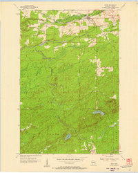
1956 · Saxon
USGS Topo · 1:24,000