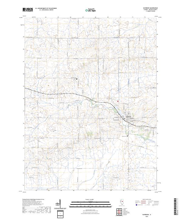
2024 Map of Saybrook
USGS Topo · Published 2024About this map
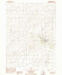
Saybrook serves as the primary population center in this portion of McLean County, where the grid of rural roads meets the winding path of the Sangamon River. The village layout is concentrated along N Main St and Courtland St, featuring a local Po and access to several community landmarks. The surrounding agricultural landscape is defined by its deep ties to local history, evidenced by the presence of the Cheney Grove Township Cem and Riverside Cem near the riverbanks, as well as Greenwood Cem further north. The terrain is largely shaped by water drainage, with Salt Creek cutting through the southern sections of the quadrangle. Transport in the area relies on an extensive network of county roads, such as Co Rd 1500 N and Co Rd 3400 E, which provide the structural framework for the township's farmsteads and rural properties.
Find a feature on this map
56 named features on this map. Tap any name to fly to it.
Don’t see what you’re looking for? This feature index may not catch every label — zoom into the map to look around manually.
Map Details
Editions of this 2024 Saybrook Map
This is the sole edition of this map. No revisions or reprints were ever made.
Historical Maps of Saybrook Through Time
6 maps found