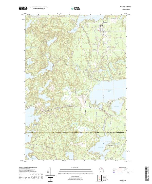
2022 Map of Sayner
USGS Topo · Published 2022About this map
Sayner serves as the focal point of this northern lake district, where the settlement is surrounded by an intricate network of waterways and kettle ponds. The landscape is defined by its glacial hydrology, from the broad reaches of Plum Lake and Big Saint Germain Lake to smaller isolated bodies like Bittersweet Lake and Roach Lake. The transition between Vilas County and Oneida County cuts across the southern portion of the map, dividing the watershed between the north-flowing Plum Creek and the southern drainage of the Saint Germain River.
Find a feature on this map
100 named features on this map. Tap any name to fly to it.
Don’t see what you’re looking for? This feature index may not catch every label — zoom into the map to look around manually.
Map Details
Editions of this 2022 Sayner Map
This is the sole edition of this map. No revisions or reprints were ever made.
Other maps of this area

1930 · Robbins
USGS Topo · 1:48,000

1938 · Minocqua
USGS Topo · 1:48,000

1938 · Robbins
USGS Topo · 1:48,000

1939 · Trout Lake
USGS Topo · 1:48,000

1945 · Robbins
USGS Topo · 1:48,000

1946 · Star Lake
USGS Topo · 1:48,000

1946 · Minocqua
USGS Topo · 1:48,000

1946 · Trout Lake
USGS Topo · 1:48,000

1949 · Trout Lake
USGS Topo · 1:48,000

1949 · Minocqua
USGS Topo · 1:48,000