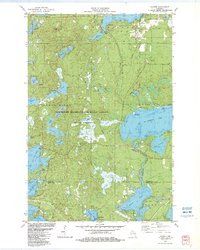
1982 Map of Sayner
USGS Topo · Published 1983About this map
Sayner serves as the primary hub of this lake-studded region in the early 1980s, sitting just east of West Plum Lake and Plum Lake. The landscape is dominated by the Northern Highland-American Legion State Forest, which encompasses a complex network of glacial kettle lakes and wetlands. The settlement pattern is largely defined by recreational and seasonal activity, with numerous campgrounds and public access points dotted along the shores of Big St Germain Lake and Little Arbor Vitae Lake.
Find a feature on this map
54 named features on this map. Tap any name to fly to it.
Don’t see what you’re looking for? This feature index may not catch every label — zoom into the map to look around manually.
Map Details
Editions of this 1982 Sayner Map
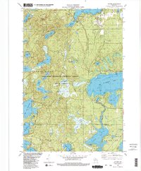
2 editions found
Other maps of this area

1930 · Robbins
USGS Topo · 1:48,000

1938 · Minocqua
USGS Topo · 1:48,000

1938 · Robbins
USGS Topo · 1:48,000

1939 · Trout Lake
USGS Topo · 1:48,000

1945 · Robbins
USGS Topo · 1:48,000

1946 · Star Lake
USGS Topo · 1:48,000

1946 · Minocqua
USGS Topo · 1:48,000

1946 · Trout Lake
USGS Topo · 1:48,000

1949 · Trout Lake
USGS Topo · 1:48,000

1949 · Minocqua
USGS Topo · 1:48,000