Loading...
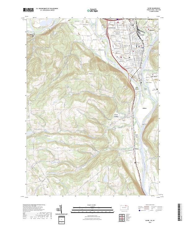
Loading map...2023 Map of Sayre
USGS Topo · Published 2023About this map
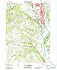
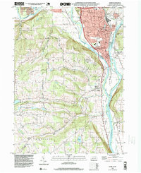
The confluence of the Chemung River and the Susquehanna River defines the landscape of the Penn-York valley, where historical settlements like Sayre and Athens evolved alongside the water. The map traces the corridor of the Susquehanna River Water Trail - North Branch Trail as it passes Tioga Point, a site of immense regional significance. Nearby, the Queen Esther Flats recall the era of the American Revolution and the displacement of indigenous villages.
Find a feature on this map
160 named features on this map. Tap any name to fly to it.
Don’t see what you’re looking for? This feature index may not catch every label — zoom into the map to look around manually.
Map Details
Date Portrayed2023
Date Published2023
PublisherU.S. Geological Survey
Map TypeTopographic
Scale1:24000
Physical Dimensions24 x 29 inches
Editions of this 2023 Sayre Map
This is the sole edition of this map. No revisions or reprints were ever made.
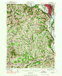
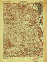
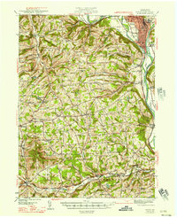
Historical Maps of Wilawana Through Time
6 maps found
Featured Locations
Source Details
SourceU.S. Geological Survey
CopyrightPublic Domain