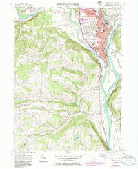
1957 Map of Sayre
USGS Topo · Published 1986About this map
The Susquehanna River and Chemung River converge at Tioga Pt, a historic focal point of the Chemung Valley that dominates this 1950s survey. The industrial and residential heart of Sayre and Athens is captured in detail, showing a landscape defined by the Conrail and Erie Railroad lines that once powered the region’s economy. The map preserves the locations of numerous neighborhood schools, including the 4th Ward Sch and Page Sch, alongside landmarks like Boro Hall and the Tioga Point Cemetery.
Find a feature on this map
72 named features on this map. Tap any name to fly to it.
Don’t see what you’re looking for? This feature index may not catch every label — zoom into the map to look around manually.
Map Details
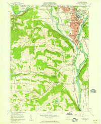
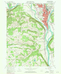
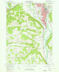
Editions of this 1957 Sayre Map
4 editions found
Other maps of this area

1902 · Waverly
USGS Topo · 1:62,500

1903 · Owego
USGS Topo · 1:62,500

1905 · Watkins Glen
USGS Topo · 1:125,000

1906 · Catatonk
USGS Topo · 1:125,000

1923 · Towanda
USGS Topo · 1:62,500

1926 · Towanda
USGS Topo · 1:62,500

1939 · Sayre
USGS Topo · 1:62,500

1942 · Sayre
USGS Topo · 1:62,500

1943 · Towanda
USGS Topo · 1:62,500

1948 · Sayre
USGS Topo · 1:62,500