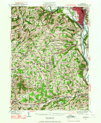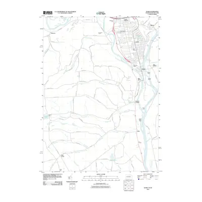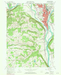
1957 Map of Sayre
USGS Topo · Published 1971About this map
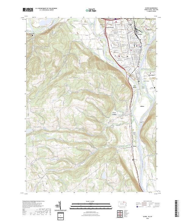
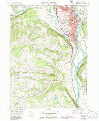
Sayre and Athens anchor this Susquehanna Valley landscape during a period of mid-century growth and transition. The industrial character of the region is defined by the Lehigh Valley railroad corridor and the Erie Railroad (Abandoned), which historically linked these river towns to broader markets. On the heights above the Chemung River, Spanish Hill and Round Top overlook a densely developed valley floor that includes the Robt Packer Hosp, Blue Swan Airport, and several local educational institutions like the Epiphany Sch and 4th Ward Sch. Further south, the terrain opens into the Flats near Tioga Pt, where the confluence of major rivers shaped early settlement patterns. This survey also records smaller rural communities such as Milan, East Athens, and Wilawana, alongside numerous family-named landmarks like Huffs Corner and Peas Hill, offering a clear view of the area's agricultural and suburban footprint before later development.
Find a feature on this map
71 named features on this map. Tap any name to fly to it.
Don’t see what you’re looking for? This feature index may not catch every label — zoom into the map to look around manually.
Map Details
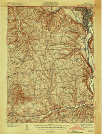
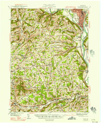
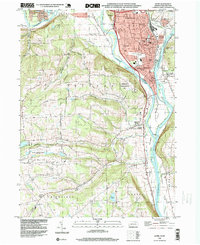
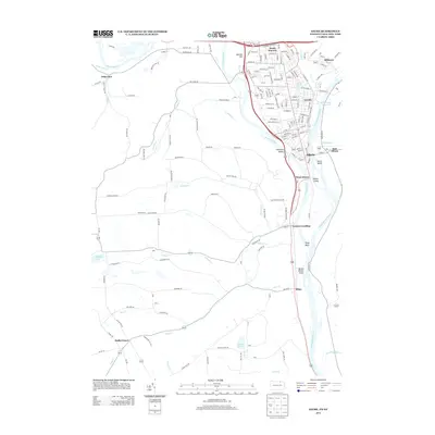
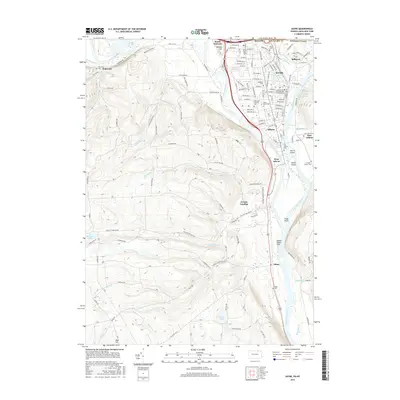
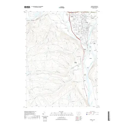
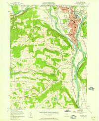
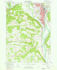
Editions of this 1957 Sayre Map
4 editions found
Historical Maps of Barton Through Time
10 maps found