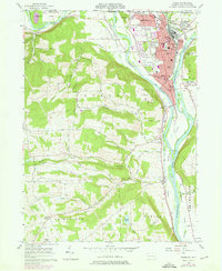
1957 Map of Sayre
USGS Topo · Published 1976About this map
The Lehigh Valley railroad corridor serves as the industrial backbone of this valley, where the Chemung River joins the Susquehanna River at Tioga Pt. In the late 1960s, the urban centers of Sayre and Athens show a dense concentration of civic life, anchored by landmarks like the Robt Packer Hosp and Boro Hall. The map reveals a transition from these busy street grids to the rural uplands of Smithfield and Ulster, where family-named landmarks like Peas Hill and Huffs Corner define the landscape. Transportation patterns are particularly evident, from the Blue Swan Airport and a small Landing Strip near the state line to the network of narrow roads such as Dunckley Hill Road and Joe Reagan Road that wind through the hills south of Wilawana. Local genealogists will find value in the detailed plotting of cemeteries, including Tioga Point Cemetery and Milan Cem.
Find a feature on this map
76 named features on this map. Tap any name to fly to it.
Don’t see what you’re looking for? This feature index may not catch every label — zoom into the map to look around manually.
Map Details
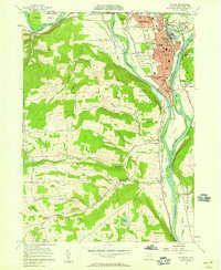
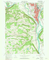
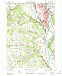
Editions of this 1957 Sayre Map
4 editions found
Other maps of this area

1902 · Waverly
USGS Topo · 1:62,500

1903 · Owego
USGS Topo · 1:62,500

1905 · Watkins Glen
USGS Topo · 1:125,000

1906 · Catatonk
USGS Topo · 1:125,000

1923 · Towanda
USGS Topo · 1:62,500

1926 · Towanda
USGS Topo · 1:62,500

1939 · Sayre
USGS Topo · 1:62,500

1942 · Sayre
USGS Topo · 1:62,500

1943 · Towanda
USGS Topo · 1:62,500

1948 · Sayre
USGS Topo · 1:62,500