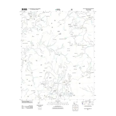
2011 Map of Scaly Mountain
USGS Topo · Published 2011About this map
Tumblerville and the small settlements of Fulchertown and Lickskillet anchor this mountainous region of the Blue Ridge, where the landscape is defined by a dense network of gaps, knobs, and ridges. The map records the persistence of local industry and heritage through features like Watkins Mill and Middle Creek Mill, alongside evidence of historical extraction at a Gold Mine near California Ridge.
Find a feature on this map
190 named features on this map. Tap any name to fly to it.
Don’t see what you’re looking for? This feature index may not catch every label — zoom into the map to look around manually.
Map Details
Editions of this 2011 Scaly Mountain Map
This is the sole edition of this map. No revisions or reprints were ever made.
Other maps of this area

1886 · Walhalla
USGS Topo · 1:125,000

1891 · Cowee
USGS Topo · 1:125,000

1892 · Walhalla
USGS Topo · 1:125,000

1896 · Walhalla
USGS Topo · 1:125,000

1897 · Cowee
USGS Topo · 1:125,000

1907 · Cowee
USGS Topo · 1:125,000

1935 · Franklin
USGS Topo · 1:24,000

1935 · Prentiss
USGS Topo · 1:24,000

1935 · Dillard
USGS Topo · 1:24,000

1935 · Scaly
USGS Topo · 1:24,000