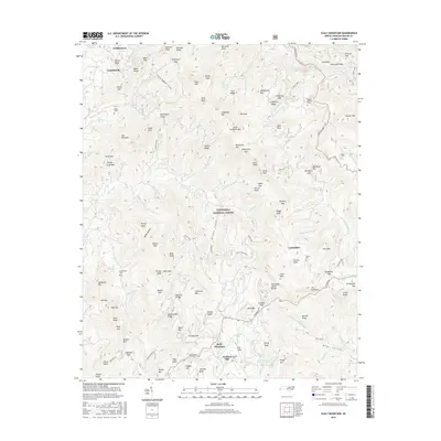
2016 Map of Scaly Mountain
USGS Topo · Published 2016About this map
Scaly Mountain and the high ridges of the Nantahala National Forest dominate this topography along the Tennessee Valley Divide. The landscape is a network of steep gaps and family-named knobs, where small settlements like Tumblerville, Fulchertown, and Lickskillet occupy the lower elevations near water sources. Significant genealogy markers include Stiles Cem, Mc Connell Cem, and Mount Moriah Cem, which are tucked away in the mountain folds.
Find a feature on this map
138 named features on this map. Tap any name to fly to it.
Don’t see what you’re looking for? This feature index may not catch every label — zoom into the map to look around manually.
Map Details
Editions of this 2016 Scaly Mountain Map
This is the sole edition of this map. No revisions or reprints were ever made.
Other maps of this area

1886 · Walhalla
USGS Topo · 1:125,000

1891 · Cowee
USGS Topo · 1:125,000

1892 · Walhalla
USGS Topo · 1:125,000

1896 · Walhalla
USGS Topo · 1:125,000

1897 · Cowee
USGS Topo · 1:125,000

1907 · Cowee
USGS Topo · 1:125,000

1935 · Franklin
USGS Topo · 1:24,000

1935 · Prentiss
USGS Topo · 1:24,000

1935 · Dillard
USGS Topo · 1:24,000

1935 · Scaly
USGS Topo · 1:24,000