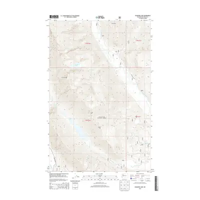
2014 Map of Schaefer Lake
USGS Topo · Published 2014About this map
Wenatchee National Forest encompasses this high-elevation landscape in Chelan County, defined by a complex network of ridges and glacial drainage basins. The Chiwawa River and the White River serve as the primary arterial waterways, fed by a system of tributaries including Raging Cr and Big Meadow Cr. The topography is anchored by prominent summits like McCall Mtn and Crook Mtn, while Estes Ridge and Chiwawa Ridge divide the numerous creek valleys.
Find a feature on this map
24 named features on this map. Tap any name to fly to it.
Don’t see what you’re looking for? This feature index may not catch every label — zoom into the map to look around manually.
Map Details
Editions of this 2014 Schaefer Lake Map
This is the sole edition of this map. No revisions or reprints were ever made.
Other maps of this area

1901 · Chiwaukum
USGS Topo · 1:125,000

1902 · Stehekin
USGS Topo · 1:125,000

1904 · Stehekin
USGS Topo · 1:125,000

1904 · Chiwaukum
USGS Topo · 1:125,000

1944 · Holden
USGS Topo · 1:62,500

1944 · Lucerne
USGS Topo · 1:62,500

1949 · Lucerne
USGS Topo · 1:62,500

1949 · Holden
USGS Topo · 1:62,500

1955 · Concrete
USGS Topo · 1:250,000

1957 · Wenatchee
USGS Topo · 1:250,000