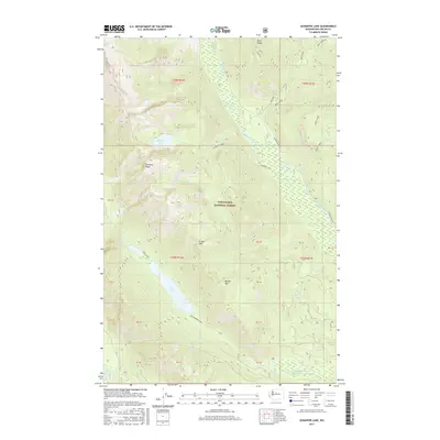
2017 Map of Schaefer Lake
USGS Topo · Published 2017About this map
Wenatchee National Forest encompasses the entirety of this high-elevation landscape in Chelan County, where the Chiwawa River and Napeequa River carve through the North Cascades. The map is defined by prominent alpine features, including the Chiwawa Ridge and the Basalt Ridge, which frame the central drainage basin. Deep within these basins lie significant water bodies like Schaefer Lake, situated below the steep slopes of Crook Mtn, and the high-altitude Twin Lakes to the south.
Find a feature on this map
40 named features on this map. Tap any name to fly to it.
Don’t see what you’re looking for? This feature index may not catch every label — zoom into the map to look around manually.
Map Details
Editions of this 2017 Schaefer Lake Map
This is the sole edition of this map. No revisions or reprints were ever made.
Other maps of this area

1901 · Chiwaukum
USGS Topo · 1:125,000

1902 · Stehekin
USGS Topo · 1:125,000

1904 · Stehekin
USGS Topo · 1:125,000

1904 · Chiwaukum
USGS Topo · 1:125,000

1944 · Holden
USGS Topo · 1:62,500

1944 · Lucerne
USGS Topo · 1:62,500

1949 · Lucerne
USGS Topo · 1:62,500

1949 · Holden
USGS Topo · 1:62,500

1955 · Concrete
USGS Topo · 1:250,000

1957 · Wenatchee
USGS Topo · 1:250,000