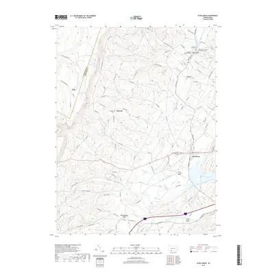
2019 Map of Schellsburg
USGS Topo · Published 2019About this map
Schellsburg and New Paris anchor a landscape defined by the winding waters of Dunning Cr and the Raystown Branch Juniata River in western Bedford County. This area is distinguished by its preservation of traditional transportation engineering, featuring three distinct spans: Cuppett's Covered Bridge, Colvin Covered Bridge, and Turner's Covered Bridge. These structures illustrate the historical reliance on local timber for crossing the region's numerous runs and creeks.
Find a feature on this map
86 named features on this map. Tap any name to fly to it.
Don’t see what you’re looking for? This feature index may not catch every label — zoom into the map to look around manually.
Map Details
Editions of this 2019 Schellsburg Map
This is the sole edition of this map. No revisions or reprints were ever made.
Other maps of this area

1908 · Bedford
USGS Topo · 1:62,500

1910 · Bedford
USGS Topo · 1:62,500

1914 · Windber
USGS Topo · 1:62,500

1916 · Windber
USGS Topo · 1:62,500

1923 · Berlin
USGS Topo · 1:48,000

1927 · Hyndman
USGS Topo · 1:62,500

1929 · Berlin
USGS Topo · 1:62,500

1931 · Hyndman
USGS Topo · 1:62,500

1944 · Hyndman
USGS Topo · 1:62,500

1944 · Windber
USGS Topo · 1:62,500