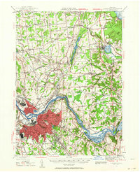
1947 Map of Schenectady
USGS Topo · Published 1964About this map
The Mohawk River serves as the industrial and geographic anchor of this mid-century landscape, flanked by the sprawling urban development of Schenectady and its neighboring village of Scotia. The map captures a critical period where the traditional transport infrastructure of the Erie Canal (Abandoned) contrasts with the active Erie Canal and a dense network of heavy rail, including the Boston and Maine Railroad and the Delaware and Hudson Railroad. To the north, the terrain transitions into a series of smaller hamlets and ridges such as Malta Ridge.
Find a feature on this map
91 named features on this map. Tap any name to fly to it.
Don’t see what you’re looking for? This feature index may not catch every label — zoom into the map to look around manually.
Map Details
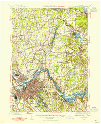
Editions of this 1947 Schenectady Map
2 editions found
Other maps of this area

1893 · Cohoes
USGS Topo · 1:62,500

1893 · Troy
USGS Topo · 1:62,500

1893 · Schenectady
USGS Topo · 1:62,500

1893 · Albany
USGS Topo · 1:62,500

1895 · Troy
USGS Topo · 1:62,500

1895 · Cohoes
USGS Topo · 1:62,500

1895 · Albany
USGS Topo · 1:62,500

1895 · Schenectady
USGS Topo · 1:62,500

1895 · Amsterdam
USGS Topo · 1:62,500

1898 · Schenectady
USGS Topo · 1:62,500