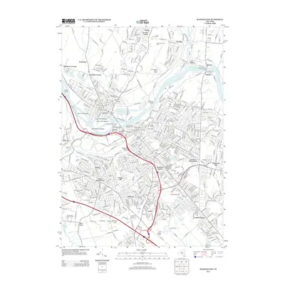
2013 Map of Schenectady
USGS Topo · Published 2013About this map
The Mohawk River carves through the heart of this region, separating the community of Scotia from the urban density of the surrounding city. This landscape is defined by its deep historical layers, evidenced by the numerous islands named for the Six Nations, including the Isle of the Oneidas, Isle of the Mohawks, and Isle of the Cayugas. To the east, the historic campus of Union College sits adjacent to the sprawling Vale Cem, which, along with Saint Josephs Cem and the Częstochowskiej Cem, forms a significant concentration of local genealogical interest.
Find a feature on this map
76 named features on this map. Tap any name to fly to it.
Don’t see what you’re looking for? This feature index may not catch every label — zoom into the map to look around manually.
Map Details
Editions of this 2013 Schenectady Map
This is the sole edition of this map. No revisions or reprints were ever made.
Other maps of this area

1893 · Schenectady
USGS Topo · 1:62,500

1893 · Albany
USGS Topo · 1:62,500

1895 · Albany
USGS Topo · 1:62,500

1895 · Schenectady
USGS Topo · 1:62,500

1895 · Amsterdam
USGS Topo · 1:62,500

1898 · Schenectady
USGS Topo · 1:62,500

1898 · Albany
USGS Topo · 1:62,500

1900 · Berne
USGS Topo · 1:62,500

1903 · Berne
USGS Topo · 1:62,500

1927 · Albany
USGS Topo · 1:62,500