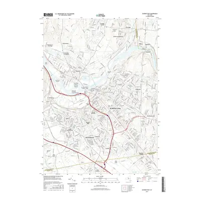
2016 Map of Schenectady
USGS Topo · Published 2016About this map
Schenectady and its surrounding communities are defined by the winding course of the Mohawk River and the legacy of the Erie Canal. This modern topographic survey illustrates a dense urban and suburban landscape where historic institutions like Union Coll and the Ellis Hospital Sch of Nursing sit alongside established neighborhoods such as Bellevue, Mount Pleasant, and Hungry Hill. The river is punctuated by a series of culturally named landforms, including the Isle of the Oneidas, Isle of the Mohawks, and Isle of the Senecas, reflecting the region's deep indigenous heritage.
Find a feature on this map
134 named features on this map. Tap any name to fly to it.
Don’t see what you’re looking for? This feature index may not catch every label — zoom into the map to look around manually.
Map Details
Editions of this 2016 Schenectady Map
This is the sole edition of this map. No revisions or reprints were ever made.
Other maps of this area

1893 · Schenectady
USGS Topo · 1:62,500

1893 · Albany
USGS Topo · 1:62,500

1895 · Albany
USGS Topo · 1:62,500

1895 · Schenectady
USGS Topo · 1:62,500

1895 · Amsterdam
USGS Topo · 1:62,500

1898 · Schenectady
USGS Topo · 1:62,500

1898 · Albany
USGS Topo · 1:62,500

1900 · Berne
USGS Topo · 1:62,500

1903 · Berne
USGS Topo · 1:62,500

1927 · Albany
USGS Topo · 1:62,500