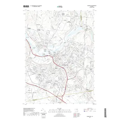
2019 Map of Schenectady
USGS Topo · Published 2019About this map
Schenectady and its surrounding boroughs are defined by the winding course of the Mohawk River, where numerous islands such as the Isle of the Mohawks and Slyck Island segment the waterway. The 2019 landscape shows a dense urban and suburban network transitioning from the historic core, home to Union College and the First Presbyterian Church, to outlying residential areas like Niskayuna and Rotterdam. Industrial and transport heritage is evident in the rail lines feeding into South Schenectady and the prominent Crosstown Connection.
Find a feature on this map
65 named features on this map. Tap any name to fly to it.
Don’t see what you’re looking for? This feature index may not catch every label — zoom into the map to look around manually.
Map Details
Editions of this 2019 Schenectady Map
This is the sole edition of this map. No revisions or reprints were ever made.
Other maps of this area

1893 · Schenectady
USGS Topo · 1:62,500

1893 · Albany
USGS Topo · 1:62,500

1895 · Albany
USGS Topo · 1:62,500

1895 · Schenectady
USGS Topo · 1:62,500

1895 · Amsterdam
USGS Topo · 1:62,500

1898 · Schenectady
USGS Topo · 1:62,500

1898 · Albany
USGS Topo · 1:62,500

1900 · Berne
USGS Topo · 1:62,500

1903 · Berne
USGS Topo · 1:62,500

1927 · Albany
USGS Topo · 1:62,500