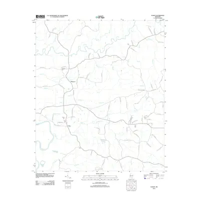
2012 Map of Schley
USGS Topo · Published 2012About this map
The Strong River meanders across this Simpson County landscape, joining the Pearl River in the southwestern corner near Dickerson Lake and Martin Lake. This rural stretch of Mississippi is defined by its small settlements and family-named landmarks, such as the junction at Schley and the community of Bridgeport near Lick Cr. A high density of cemeteries, including Armstrong-Buckley Cem, Taylor Hill Cem, and Peacock Cem, provides significant value for genealogists tracing local families like the Little, Buckley, and Lee clans.
Find a feature on this map
94 named features on this map. Tap any name to fly to it.
Don’t see what you’re looking for? This feature index may not catch every label — zoom into the map to look around manually.
Map Details
Editions of this 2012 Schley Map
This is the sole edition of this map. No revisions or reprints were ever made.
Other maps of this area

1953 · Hattiesburg
USGS Topo · 1:250,000

1953 · Natchez
USGS Topo · 1:250,000

1956 · Natchez
USGS Topo · 1:250,000

1958 · Hattiesburg
USGS Topo · 1:250,000

1959 · Natchez
USGS Topo · 1:250,000
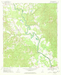
1970 · Hopewell
USGS Topo · 1:24,000
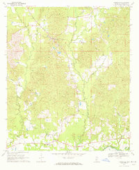
1970 · Harrisville
USGS Topo · 1:24,000
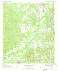
1970 · Mendenhall West
USGS Topo · 1:24,000

1970 · New Hebron
USGS Topo · 1:24,000

1971 · Schley
USGS Topo · 1:24,000