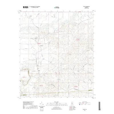
2018 Map of Schley
USGS Topo · Published 2018About this map
Strong River winds through the northern reaches of this landscape, fed by a network of tributaries including Lee Br and Cottonseed Br. The terrain is defined by its rural settlements and deep genealogical roots, centered around the communities of Bridgeport and Schley. This area of Simpson County is notably dense with family burial grounds, such as Lee Cem and the Armstrong-Buckley Cem, which anchor the local history to specific landholdings. To the south, the map captures the transition into Lawrence County, marked by the presence of Martin Lake and Dickerson Lake. The road network, including Rockport New Hebron Rd and State Hwy 478, connects these scattered settlements, following the natural ridges and creek valleys that have shaped the region's development for generations.
Find a feature on this map
80 named features on this map. Tap any name to fly to it.
Don’t see what you’re looking for? This feature index may not catch every label — zoom into the map to look around manually.
Map Details
Editions of this 2018 Schley Map
This is the sole edition of this map. No revisions or reprints were ever made.
Other maps of this area

1953 · Hattiesburg
USGS Topo · 1:250,000

1953 · Natchez
USGS Topo · 1:250,000

1956 · Natchez
USGS Topo · 1:250,000

1958 · Hattiesburg
USGS Topo · 1:250,000

1959 · Natchez
USGS Topo · 1:250,000
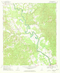
1970 · Hopewell
USGS Topo · 1:24,000
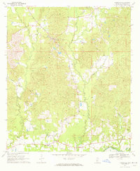
1970 · Harrisville
USGS Topo · 1:24,000
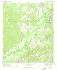
1970 · Mendenhall West
USGS Topo · 1:24,000

1970 · New Hebron
USGS Topo · 1:24,000

1971 · Schley
USGS Topo · 1:24,000