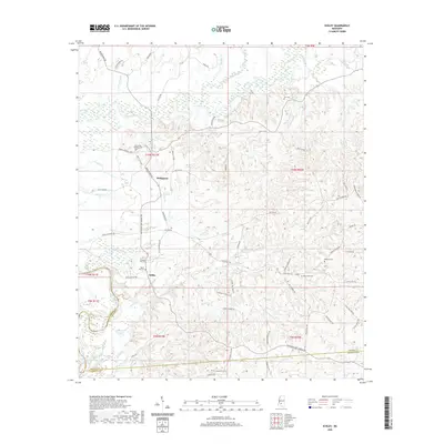
2020 Map of Schley
USGS Topo · Published 2020About this map
Strong River and its numerous tributaries, including Big Creek and Cottonseed Br, carve a complex drainage pattern across this Simpson County landscape. The area is defined by small, dispersed settlements like Bridgeport and Schley, which are connected by an intricate network of local roads such as Matt Lee Rd and Joe Buckley Rd. These family-named routes suggest a long-standing agricultural and residential presence in the region.
Find a feature on this map
79 named features on this map. Tap any name to fly to it.
Don’t see what you’re looking for? This feature index may not catch every label — zoom into the map to look around manually.
Map Details
Editions of this 2020 Schley Map
This is the sole edition of this map. No revisions or reprints were ever made.
Other maps of this area

1953 · Hattiesburg
USGS Topo · 1:250,000

1953 · Natchez
USGS Topo · 1:250,000

1956 · Natchez
USGS Topo · 1:250,000

1958 · Hattiesburg
USGS Topo · 1:250,000

1959 · Natchez
USGS Topo · 1:250,000
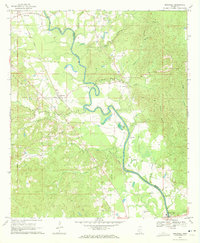
1970 · Hopewell
USGS Topo · 1:24,000
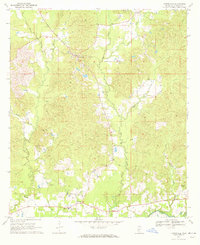
1970 · Harrisville
USGS Topo · 1:24,000
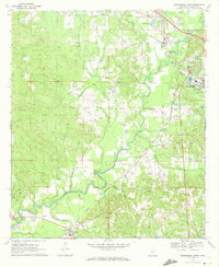
1970 · Mendenhall West
USGS Topo · 1:24,000

1970 · New Hebron
USGS Topo · 1:24,000

1971 · Schley
USGS Topo · 1:24,000