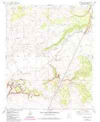
1978 Map of Schnebly Well
USGS Topo · Published 1985About this map
The Zuni River meanders across this corner of Apache County, Arizona, during the 1970s and 1980s, revealing a landscape defined by ranching and sparse water resources. The most prominent settlement feature is the St Johns State Welfare Ranch, which serves as a notable anchor for local history and institutional geography in the region. Surrounding this facility, the terrain is marked by essential livestock infrastructure, including Platts Windmill, a Corral, and various water sources such as the namesake Schnebly Well.
Find a feature on this map
8 named features on this map. Tap any name to fly to it.
Don’t see what you’re looking for? This feature index may not catch every label — zoom into the map to look around manually.
Map Details
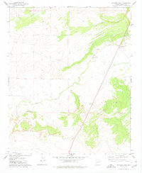
Editions of this 1978 Schnebly Well Map
2 editions found
Other maps of this area

1886 · St Johns
USGS Topo · 1:250,000

1892 · St Johns
USGS Topo · 1:250,000

1954 · Saint Johns
USGS Topo · 1:250,000

1955 · Wolford Springs 3 NW
USGS Topo · 1:24,000

1955 · Wolford Springs 3 SW
USGS Topo · 1:24,000

1957 · Saint Johns
USGS Topo · 1:250,000

1958 · Saint Johns
USGS Topo · 1:250,000

1962 · Saint Johns
USGS Topo · 1:250,000
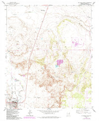
1974 · St. Johns North
USGS Topo · 1:24,000
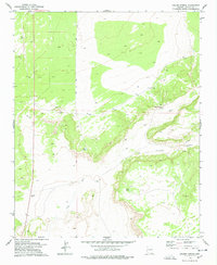
1977 · Ceadro Spring
USGS Topo · 1:24,000