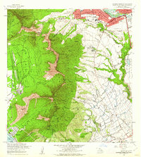
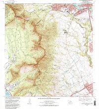
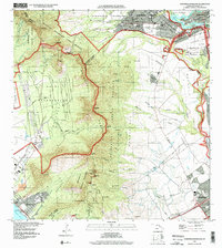
1960 Map of Schofield Barracks
USGS Topo · Published 1962About this map
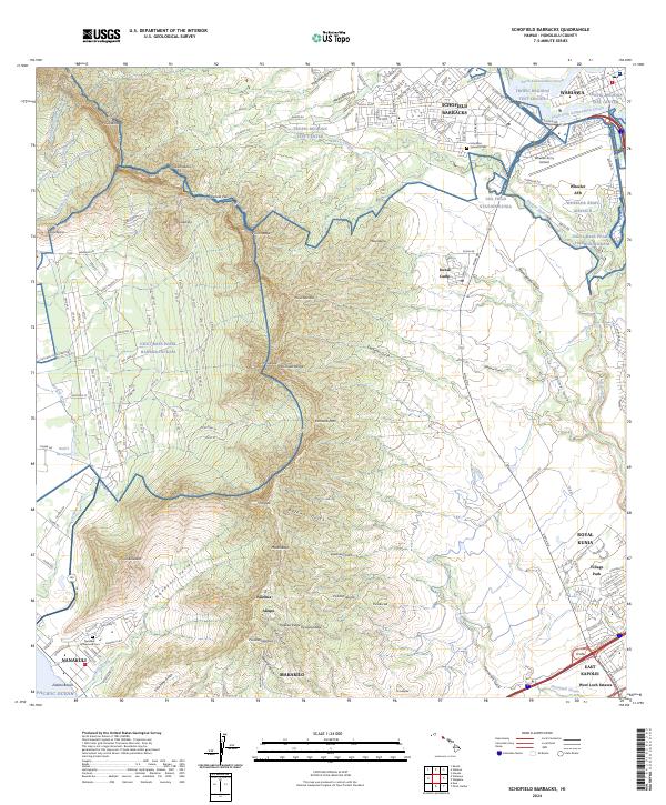
Schofield Military Reservation and the sprawling Wheeler Air Force Base dominate the northern plateau of central Oahu, reflecting the island's strategic military importance during the early 1960s. The landscape transitions from the dense street grids of Schofield Barracks and Wahiawa into the sharp, verdant ridges of the Waianae Range. Key transit corridors like Kunia Road and Kolekole Road link the interior uplands to the coastal settlement at Nanākuli and the Pacific Ocean.
Find a feature on this map
81 named features on this map. Tap any name to fly to it.
Don’t see what you’re looking for? This feature index may not catch every label — zoom into the map to look around manually.
Map Details
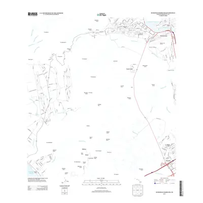
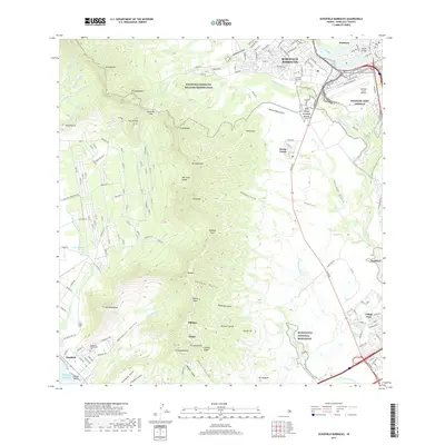
Editions of this 1960 Schofield Barracks Map
This is the sole edition of this map. No revisions or reprints were ever made.
Historical Maps of Akupu Through Time
9 maps found
1953 Schofield Barracks
Honolulu County, HI
1960 Schofield Barracks
Honolulu County, HI
1967 Schofield Barracks
Honolulu County, HI
1977 Schofield Barracks
Honolulu County, HI
1983 Schofield Barracks
Honolulu County, HI
1998 Schofield Barracks
Honolulu County, HI
2013 Schofield Barracks
Honolulu County, HI
2017 Schofield Barracks
Honolulu County, HI
2024 Schofield Barracks
Honolulu County, HI