
1954 Map of Waianae
USGS Topo · Published 1955About this map
Makaha and the surrounding leeward coast of Oahu are characterized by a series of deep valleys and sharp ridges extending from the Waianae Range. During the mid-1950s, the landscape reflected a transition from traditional land use to increasing military and residential development. Cultural sites such as Kaneaki Heiau and the Kanelio Point Heiau (Site) near Pokai Bay stand alongside extensive military reservations and the prominent Lualualei Naval Radio Station. The area's agricultural heritage is evident in the Waianae Homesteads and Lualualei Homesteads, which are situated between the towering peaks of Puu Kawiwi and Puu Mailiili. Transport is dominated by Farrington Highway, which threads along the coast through Maili and Nanakuli, linking a string of shoreline parks including Makaha Beach Park and Maili Beach Park.
Find a feature on this map
53 named features on this map. Tap any name to fly to it.
Don’t see what you’re looking for? This feature index may not catch every label — zoom into the map to look around manually.
Map Details
Editions of this 1954 Waianae Map
This is the sole edition of this map. No revisions or reprints were ever made.
Other maps of this area

1953 · Haleiwa
USGS Topo · 1:24,000

1953 · Schofield Barracks
USGS Topo · 1:24,000

1953 · Ewa
USGS Topo · 1:24,000

1954 · Oahu
USGS Topo · 1:250,000

1954 · Kaena
USGS Topo · 1:24,000

1960 · Haleiwa
USGS Topo · 1:24,000

1960 · Schofield Barracks
USGS Topo · 1:24,000

1961 · Oahu
USGS Topo · 1:250,000
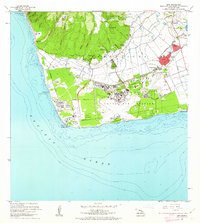
1962 · Ewa
USGS Topo · 1:24,000
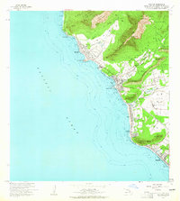
1963 · Waianae
USGS Topo · 1:24,000