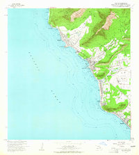
1963 Map of Waianae
USGS Topo · Published 1965About this map
Kaneaki Heiau and Kamaile Heiau anchor the cultural landscape of the Leeward Coast on this mid-century survey. The transition from traditional Hawaiian land use to modern settlement is evident in the expansive Lualualei Homesteads and Waianae Homesteads, which sit adjacent to massive government holdings including the US Naval Reservation. The coastal villages of Makaha, Waianae, and Maili are connected by Farrington Hwy, with various beach parks like Pokai Bay Beach Park marking the shoreline.
Find a feature on this map
62 named features on this map. Tap any name to fly to it.
Don’t see what you’re looking for? This feature index may not catch every label — zoom into the map to look around manually.
Map Details
Editions of this 1963 Waianae Map
2 editions found
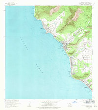
Other maps of this area

1953 · Haleiwa
USGS Topo · 1:24,000

1953 · Schofield Barracks
USGS Topo · 1:24,000

1953 · Ewa
USGS Topo · 1:24,000

1954 · Oahu
USGS Topo · 1:250,000

1954 · Waianae
USGS Topo · 1:24,000

1954 · Kaena
USGS Topo · 1:24,000

1960 · Haleiwa
USGS Topo · 1:24,000

1960 · Schofield Barracks
USGS Topo · 1:24,000

1961 · Oahu
USGS Topo · 1:250,000
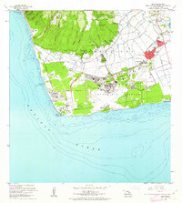
1962 · Ewa
USGS Topo · 1:24,000