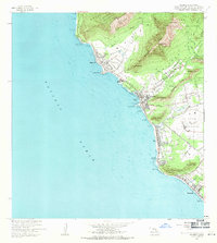
1963 Map of Waianae
USGS Topo · Published 1971About this map
Coastal development along the leeward Oahu shoreline is documented in detail during the early 1960s, showing the concentration of residential and agricultural plots within the expansive homestead lands. The map illustrates the transition from the steep, interior ridges of the Waiānae-Kai Forest Reserve and Makaha Valley down to the settled plains. Large tracts are designated as the US Military Reservation and US Naval Reservation, emphasizing the strategic significance of the area alongside civilian growth in Makaha, Waiānae, and Nanakuli.
Find a feature on this map
56 named features on this map. Tap any name to fly to it.
Don’t see what you’re looking for? This feature index may not catch every label — zoom into the map to look around manually.
Map Details
Editions of this 1963 Waianae Map
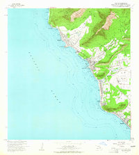
2 editions found
Other maps of this area

1953 · Haleiwa
USGS Topo · 1:24,000

1953 · Schofield Barracks
USGS Topo · 1:24,000

1953 · Ewa
USGS Topo · 1:24,000

1954 · Oahu
USGS Topo · 1:250,000

1954 · Waianae
USGS Topo · 1:24,000

1954 · Kaena
USGS Topo · 1:24,000

1960 · Haleiwa
USGS Topo · 1:24,000

1960 · Schofield Barracks
USGS Topo · 1:24,000

1961 · Oahu
USGS Topo · 1:250,000
1962 · Ewa
USGS Topo · 1:24,000