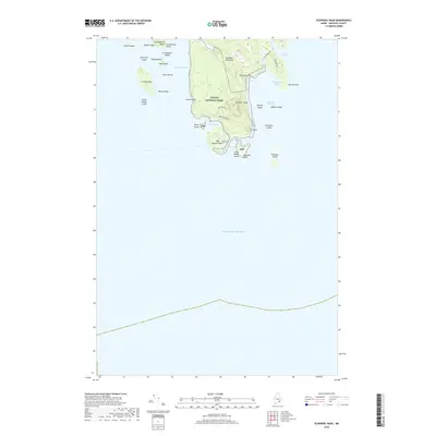
2018 Map of Schoodic Head
USGS Topo · Published 2018About this map
Acadia National Park anchors this coastal survey of the Schoodic Peninsula, where the granite-defined landscape of Downeast Maine meets the Atlantic Ocean. The map reveals a complex shoreline of ledges and islands, including the prominent Grindstone Neck and Big Moose Island, connected by a network of park roads like Acadia Dr and E Schoodic Dr. Interior elevations like Buck Cove Mtn and the distinctively named The Anvil rise above freshwater features such as The Heath and East Pond. This topographic study documents the interface of protected wilderness and maritime harbor life at Winter Harbor and Bunkers Harbor, capturing the physical geography of the only portion of the national park located on the mainland.
Find a feature on this map
45 named features on this map. Tap any name to fly to it.
Don’t see what you’re looking for? This feature index may not catch every label — zoom into the map to look around manually.
Map Details
Editions of this 2018 Schoodic Head Map
This is the sole edition of this map. No revisions or reprints were ever made.
Other maps of this area

1904 · Bar Harbor
USGS Topo · 1:62,500

1904 · Petit Manan
USGS Topo · 1:62,500

1942 · Bar Harbor
USGS Topo · 1:62,500

1948 · Bangor
USGS Topo · 1:250,000
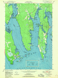
1948 · Petit Manan
USGS Topo · 1:24,000
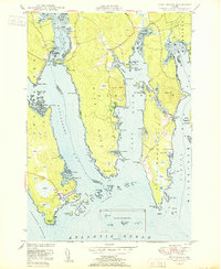
1950 · Petit Manan
USGS Topo · 1:24,000
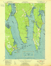
1950 · Petit Manan
USGS Topo · 1:24,000

1956 · Bar Harbor
USGS Topo · 1:62,500

1956 · Bangor
USGS Topo · 1:250,000

1960 · Bangor
USGS Topo · 1:250,000