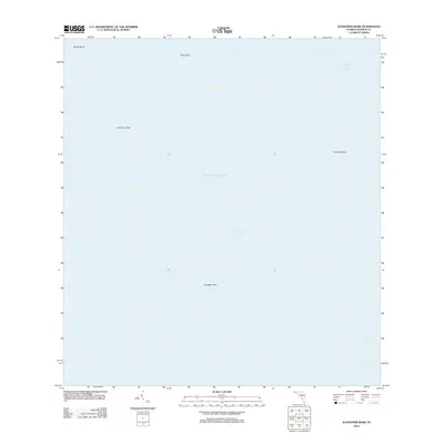
2012 Map of Schooner Bank
USGS Topo · Published 2012About this map
Florida Bay and the open waters of the eastern Gulf of Mexico dominate this marine survey, illustrating the shallow shoals and basins that define the coastal waters of Monroe County. The map provides a specialized look at the submerged topography of the region, where named banks such as Schooner Bank and Sprigger Bank rise from the sea floor to create complex navigational conditions. These features represent the hidden landscape beneath the waves, essential for understanding the maritime history and natural environment of the Florida Keys. To the north, the transition from Blue Bank toward Rabbit Key Basin shows the variety of depths within these protected waters. This 2012 document records the bathymetric naming conventions and geographical limits of these significant banks as they were formally recognized at the time.
Find a feature on this map
8 named features on this map. Tap any name to fly to it.
Don’t see what you’re looking for? This feature index may not catch every label — zoom into the map to look around manually.
Map Details
Editions of this 2012 Schooner Bank Map
This is the sole edition of this map. No revisions or reprints were ever made.
Other maps of this area

1956 · Miami
USGS Topo · 1:250,000

1958 · Miami
USGS Topo · 1:250,000

1971 · Grassy Key
USGS Topo · 1:24,000

1971 · Long Key
USGS Topo · 1:24,000

1972 · Bamboo Key
USGS Topo · 1:24,000

1972 · Schooner Bank
USGS Topo · 1:24,000

1972 · East Bahia Honda Key NE
USGS Topo · 1:24,000

1972 · Pelican Keys
USGS Topo · 1:24,000

1972 · Sandy Key
USGS Topo · 1:24,000

1972 · Buchanan Keys
USGS Topo · 1:24,000