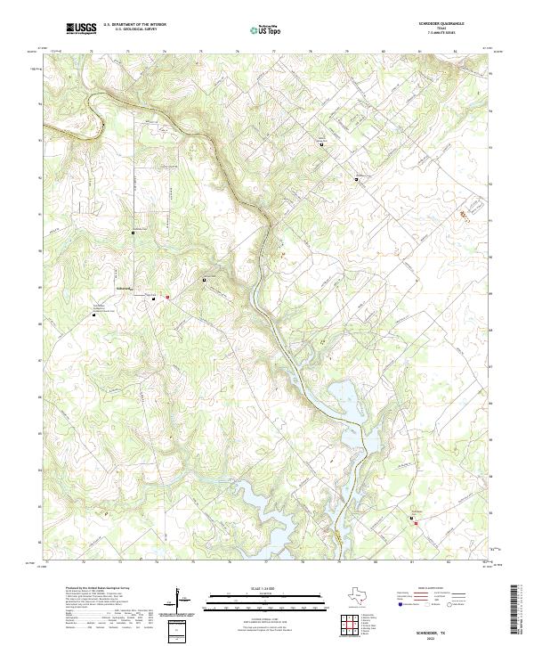
2022 Map of Schroeder
USGS Topo · Published 2022About this map
Schroeder and the surrounding rangelands along the Victoria and Goliad county line are defined by a complex network of seasonal creeks and family-named cemeteries. This modern topographic study reveals a landscape where historical burial grounds such as Mistletoe Cem, Singer Cem, and Berger Cem remain as markers of early settlement patterns among the drainage basins of Coleto Cr and Hog Thief Cr.
Find a feature on this map
84 named features on this map. Tap any name to fly to it.
Don’t see what you’re looking for? This feature index may not catch every label — zoom into the map to look around manually.
Map Details
Editions of this 2022 Schroeder Map
This is the sole edition of this map. No revisions or reprints were ever made.
Other maps of this area

1953 · Beeville
USGS Topo · 1:250,000

1956 · Beeville
USGS Topo · 1:250,000

1960 · Beeville
USGS Topo · 1:250,000

1962 · Fannin
USGS Topo · 1:24,000

1962 · Hensley Lake
USGS Topo · 1:24,000

1962 · Raisin
USGS Topo · 1:24,000

1963 · Meyersville
USGS Topo · 1:24,000

1963 · Nursery
USGS Topo · 1:24,000
1963 · Mission Valley
USGS Topo · 1:24,000
1963 · Ander
USGS Topo · 1:24,000