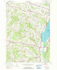
1943 Map of Schuyler Lake
USGS Topo · Published 1981About this map
Canadarago Lake anchors this 1943 survey, its western shoreline dotted with homes and small landings leading toward the village of Schuyler Lake. This landscape at the Otsego County and Herkimer County border is defined by a dense network of early thoroughfares, including the Cherry Valley Turnpike and the Skaneateles Turnpike. These routes connect dispersed upland settlements like Exeter Center and Brighton to the regional hub of Richfield Springs.
Find a feature on this map
41 named features on this map. Tap any name to fly to it.
Don’t see what you’re looking for? This feature index may not catch every label — zoom into the map to look around manually.
Map Details
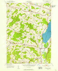
Editions of this 1943 Schuyler Lake Map
3 editions found
Other maps of this area

1903 · Richfield Springs
USGS Topo · 1:62,500

1907 · Winfield
USGS Topo · 1:62,500

1907 · Cooperstown
USGS Topo · 1:62,500

1909 · Cooperstown
USGS Topo · 1:62,500

1910 · Hartwick
USGS Topo · 1:62,500

1912 · Hartwick
USGS Topo · 1:62,500

1943 · Schuyler Lake
USGS Topo · 1:24,000

1943 · Jordanville
USGS Topo · 1:24,000

1943 · Richfield Springs
USGS Topo · 1:24,000

1943 · Millers Mills
USGS Topo · 1:24,000