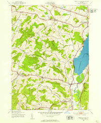
1943 Map of Schuyler Lake
USGS Topo · Published 1970About this map
Canadarago Lake dominates the eastern edge of this Otsego County landscape, where the waters of Oaks Creek flow south toward the Susquehanna watershed. In the early 1940s, this region remained a network of upland farms and valley hamlets connected by historic corridors like the Old Skaneateles Turnpike and the Cherry Valley Turnpike. The map reveals a dense distribution of rural infrastructure, including several district schools such as the Cobblestone Sch and Ryder Sch, reflecting a population still tied closely to the land. From the northern heights of Pray Hill to the southern reaches of Lidell Corners, the terrain is marked by numerous named cemeteries like Twilight Rest Cem and Exeter Cem, which provide critical reference points for local genealogists studying the families of Richfield and Exeter.
Find a feature on this map
40 named features on this map. Tap any name to fly to it.
Don’t see what you’re looking for? This feature index may not catch every label — zoom into the map to look around manually.
Map Details
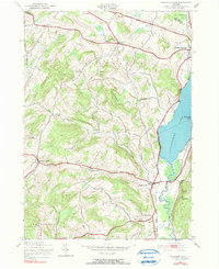
Editions of this 1943 Schuyler Lake Map
3 editions found
Other maps of this area

1903 · Richfield Springs
USGS Topo · 1:62,500

1907 · Winfield
USGS Topo · 1:62,500

1907 · Cooperstown
USGS Topo · 1:62,500

1909 · Cooperstown
USGS Topo · 1:62,500

1910 · Hartwick
USGS Topo · 1:62,500

1912 · Hartwick
USGS Topo · 1:62,500

1943 · Schuyler Lake
USGS Topo · 1:24,000

1943 · Jordanville
USGS Topo · 1:24,000

1943 · Richfield Springs
USGS Topo · 1:24,000

1943 · Millers Mills
USGS Topo · 1:24,000