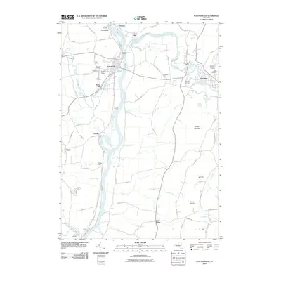
2010 Map of Schuylerville
USGS Topo · Published 2010About this map
The Hudson River and Batten Kill confluence serves as the geographic anchor for this upstate New York survey, where industrial history meets a dense network of local heritage. The riverfront settlements of Schuylerville, Victory Mills, and Clarks Mills appear alongside numerous family and church burial grounds, including Finch Cemetery, Notre Dame Cemetery, and the Prospect Hill Cemetery. These sites, clustered near the river’s bend, reflect generations of settlement in Saratoga and Washington counties.
Find a feature on this map
86 named features on this map. Tap any name to fly to it.
Don’t see what you’re looking for? This feature index may not catch every label — zoom into the map to look around manually.
Map Details
Editions of this 2010 Schuylerville Map
This is the sole edition of this map. No revisions or reprints were ever made.
Other maps of this area

1893 · Cohoes
USGS Topo · 1:62,500

1895 · Cohoes
USGS Topo · 1:62,500

1895 · Cambridge
USGS Topo · 1:62,500

1897 · Hoosick
USGS Topo · 1:62,500

1898 · Cambridge
USGS Topo · 1:62,500

1898 · Cohoes
USGS Topo · 1:62,500

1900 · Taconic
USGS Topo · 1:125,000

1900 · Schuylerville
USGS Topo · 1:62,500

1901 · Cambridge
USGS Topo · 1:62,500

1903 · Mettawee
USGS Topo · 1:125,000