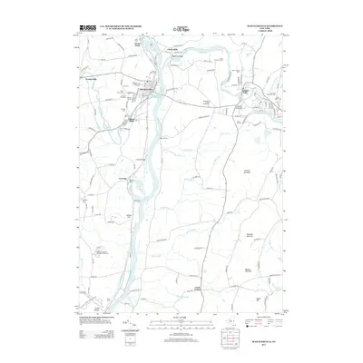
2013 Map of Schuylerville
USGS Topo · Published 2013About this map
The Hudson River and the legacy of the Old Champlain Canal define the landscape of this Saratoga County region. In the early 21st century, the river remains the primary artery, flanked by the historic riverfront settlements of Schuylerville, Victory Mills, and Coveville. The waterway's recreational and industrial history is evident in the Schuyler Yacht Basin and the nearby Alcove Marina. Further east, the Batten Kill cuts through the terrain, passing Clarks Mills and Middle Falls where Cement Mountain stands as a prominent local landmark.
Find a feature on this map
143 named features on this map. Tap any name to fly to it.
Don’t see what you’re looking for? This feature index may not catch every label — zoom into the map to look around manually.
Map Details
Editions of this 2013 Schuylerville Map
This is the sole edition of this map. No revisions or reprints were ever made.
Other maps of this area

1893 · Cohoes
USGS Topo · 1:62,500

1895 · Cohoes
USGS Topo · 1:62,500

1895 · Cambridge
USGS Topo · 1:62,500

1897 · Hoosick
USGS Topo · 1:62,500

1898 · Cambridge
USGS Topo · 1:62,500

1898 · Cohoes
USGS Topo · 1:62,500

1900 · Taconic
USGS Topo · 1:125,000

1900 · Schuylerville
USGS Topo · 1:62,500

1901 · Cambridge
USGS Topo · 1:62,500

1903 · Mettawee
USGS Topo · 1:125,000