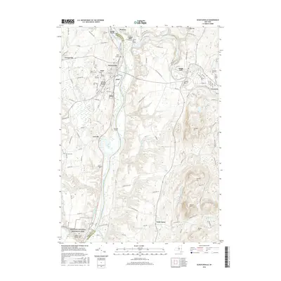
2016 Map of Schuylerville
USGS Topo · Published 2016About this map
Snhp and the Saratoga National Historical Park anchor this region along the Hudson River, where the landscape remains deeply connected to its Revolutionary War identity. The village of Schuylerville and nearby Victory sit at a historic crossroads where Fish Creek meets the river, while the Old Champlain Canal traces a line through the valley, marking the legacy of 19th-century transport.
Find a feature on this map
112 named features on this map. Tap any name to fly to it.
Don’t see what you’re looking for? This feature index may not catch every label — zoom into the map to look around manually.
Map Details
Editions of this 2016 Schuylerville Map
This is the sole edition of this map. No revisions or reprints were ever made.
Other maps of this area

1893 · Cohoes
USGS Topo · 1:62,500

1895 · Cohoes
USGS Topo · 1:62,500

1895 · Cambridge
USGS Topo · 1:62,500

1897 · Hoosick
USGS Topo · 1:62,500

1898 · Cambridge
USGS Topo · 1:62,500

1898 · Cohoes
USGS Topo · 1:62,500

1900 · Taconic
USGS Topo · 1:125,000

1900 · Schuylerville
USGS Topo · 1:62,500

1901 · Cambridge
USGS Topo · 1:62,500

1903 · Mettawee
USGS Topo · 1:125,000